
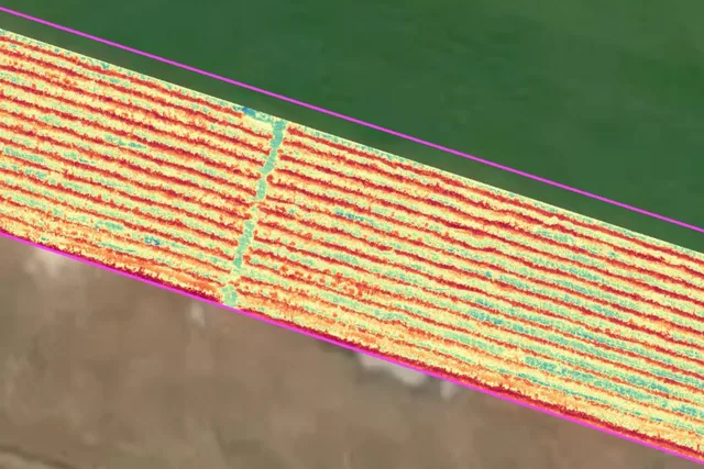
Why can two NDVI maps be different? Errors, limits and best practices
Imagine flying over a vineyard today and getting an NDVI map that highlights some stressed areas. You repeat the same survey a few days later, with the same...
· 2 min read
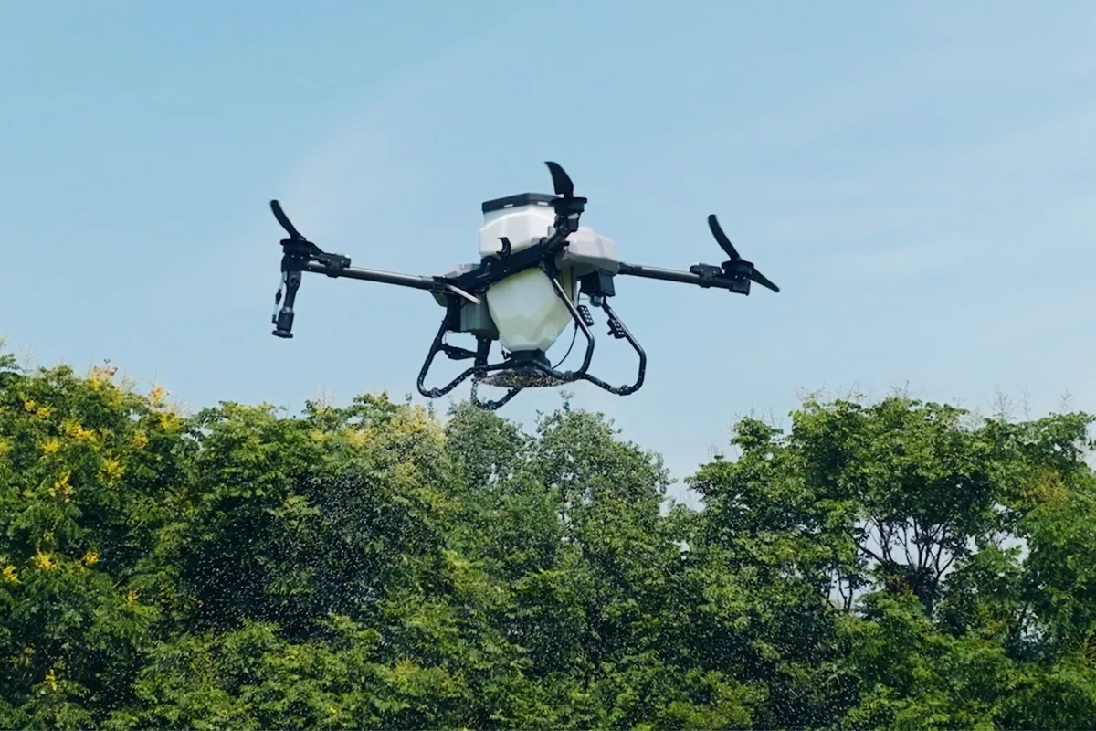
The agricultural sector is undergoing a quiet but profound transformation, driven by the introduction of technologies that are changing the way work is done in the field every day. Among these, drones represent one of the most impactful innovations, thanks to the tangible effect their use has on farming operations.
For years, crop management has relied on a uniform approach: entire areas treated in the same way, regardless of the actual soil conditions or the vegetative state of the plants. This model, still widespread today, inevitably leads to inefficiencies, waste and, in some cases, suboptimal results. The introduction of drones breaks this logic, moving agriculture towards a more dynamic and adaptive system.
The first obvious change concerns the way work is carried out in the field: with drones, operations are no longer tied to the need to physically cross the terrain. This means being able to work even in conditions where traditional vehicles would be limited or completely unusable, such as after rain, on steeply sloping land or in the presence of high-density crops. The ability to operate from above removes long-standing operational constraints and introduces a new freedom in managing timing.
This freedom translates directly into faster decision-making. Drones make it possible to drastically shorten the time between identifying a problem and resolving it, in an approach that reduces the risk of an issue spreading and compromising larger portions of the field.
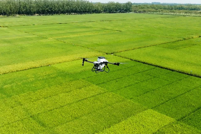
Another key aspect is the impact on the soil: traditional farming operations inevitably involve the passage of heavy machinery, which over time alters the soil structure, reducing its drainage capacity and negatively affecting root development. The use of drones completely eliminates this effect, preserving the physical characteristics of the soil and helping to maintain more stable agronomic conditions over the long term.
At the same time, the level of precision with which operations are carried out also changes: drone missions are planned digitally and follow defined parameters, making every intervention extremely controlled and repeatable. This leads to consistent operational quality, hard to achieve with traditional methods, and makes it possible to build over time a reliable history on which to base future decisions.
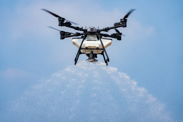
But the real leap in quality happens when drones are used not just as operational tools, but as part of a broader data-driven system. The use of advanced sensors, such as multispectral cameras, makes it possible to observe crops from a completely new perspective, detecting information that is not visible to the naked eye. It is possible to identify early signs of stress, variations in plant vigour or anomalies that, if caught in time, can be addressed with targeted interventions.
In this context, operational drones become the natural completion of the process. The data collected is turned into concrete guidance that directs field operations in a precise and localised way. Interventions are no longer applied across the board, but exactly where they are needed, with a level of accuracy that radically changes their effectiveness.
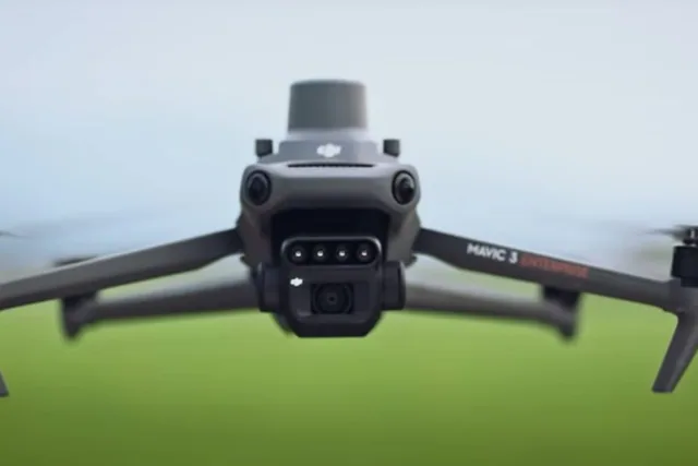
Ultimately, drones are not just making operations faster or more modern. They are redefining the very concept of field intervention, introducing a model that is more precise, more responsive and more informed. In a sector where every decision has a direct impact on productivity and costs, this evolution represents a concrete lever for improving performance and tackling the challenges of contemporary agriculture more effectively.
Selected by our staff based on the topic of the article. Not sure which one to choose? Ask us for advice.
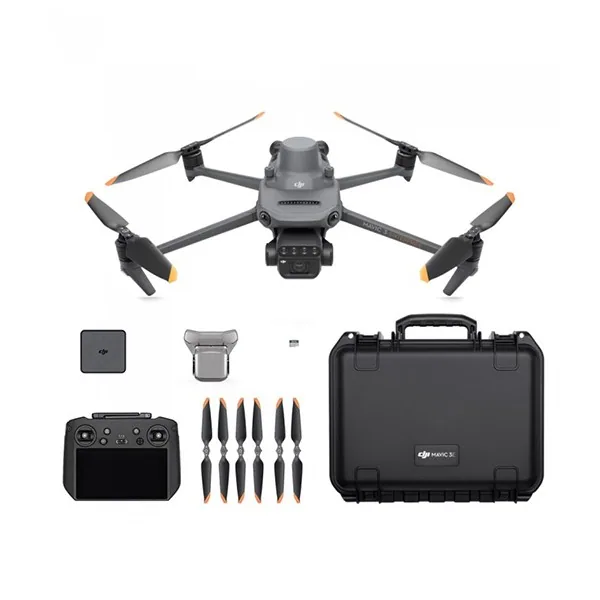

We help you choose the drone, sensors and software based on the job to be done, with training and after-sales support. We usually reply within one business day.
Imagine flying over a vineyard today and getting an NDVI map that highlights some stressed areas. You repeat the same survey a few days later, with the same...
· 2 min read
In recent years the use of drones, sensors and digital technologies in agriculture has grown exponentially: farms now have the opportunity to...
· 3 min read
In recent years, precision agriculture has become one of the most talked-about tools in the farming sector.
· 3 min read
🍪 Cookies on AerialClick
We use technical cookies, which are necessary for the site (cart, login). With your consent we also use marketing cookies (Meta) to measure campaigns and show you relevant ads. You can change your mind at any time from "Cookie preferences" at the bottom of the page. Cookie policy