
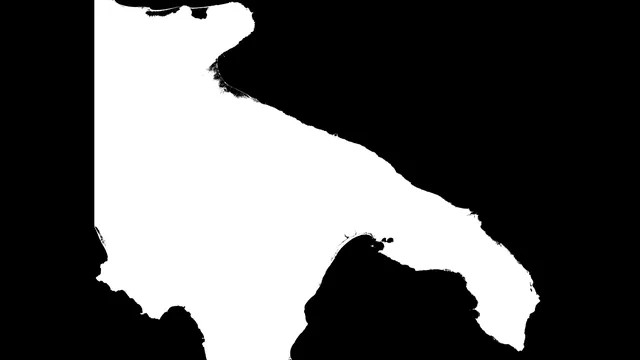
Regional DTMs — digital terrain models
The DTM of the Puglia region in .tif format with .tfw file: an elevation base of the terrain for telemetry and for terrain-following drone flight in Puglia, even over uneven surfaces.
- 24-month legal guarantee of conformity
- Insured shipping, free over € 1,999 (parcels up to 50 kg) · Pick-up at our premises in Brindisi
- 14-day right of withdrawal for private customers
- Technical support in our workshop
Description
The DTM of the Puglia region is the digital terrain model to use as an elevation baseline for drone flights. Puglia is a predominantly flat and hilly region, with the Gargano and the Murge: the model is designed for pilots and operators who plan missions there in which the drone must follow the contours of the ground.
What is a DTM
A DTM (Digital Terrain Model) describes the contour of the bare ground, without buildings or vegetation. It differs from a DSM (Digital Surface Model), which also includes structures and trees.
What it's for
The model provides a terrain baseline for obtaining telemetry data and for high-precision terrain-following flight, even over uneven surfaces: the drone can thus maintain a constant height above the ground.
Flight planning software such as UgCS imports DEM/DSM (digital elevation model) altitude data in .tif format.
What's included
- 1 file in .tif format, with the model's elevation data;
- 1 file in .tfw format, the georeferencing file that places the .tif in real-world coordinates.
You can also find the terrain models for other regions.
Why choose it from AerialClick
We are drone pilots and technicians in Brindisi: if you have any doubts about how to use the model in your flight software, contact us. To fly in compliance with the rules, you'll find the AerialClick pilot courses for ENAC (the Italian National Civil Aviation Authority) certificates.
Frequently asked questions
Which files does the Puglia DTM contain?
A .tif file with the model data and a .tfw file with the georeferencing.
What is it used for in drone flying?
It provides a ground reference for telemetry data and for high-precision terrain-following flight, even over uneven surfaces.
Legal guarantee
As a consumer you are entitled by law to the legal guarantee of conformity for at least 2 years from delivery, for any defect present at the time of delivery (Italian Consumer Code, arts. 128 et seq.). The seller is directly liable for it. Any commercial warranties from the manufacturer are in addition to, and do not limit, the legal guarantee. Details and how to claim it.
Have questions about this product?
Ask the people who use and repair it every day. We usually reply within one business day.