
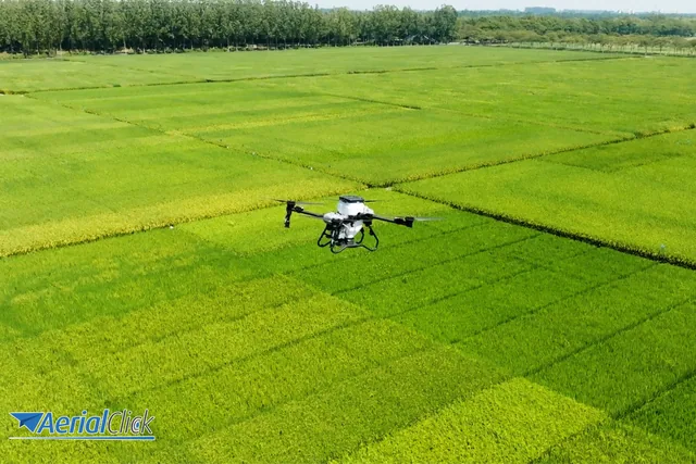
How much can you save with precision agriculture?
In recent years, precision agriculture has become one of the most talked-about tools in the farming sector.
· 3 min read
The drone in agriculture is certainly one of the most revolutionary innovations of recent years.
Thanks to sensing equipment, the GPS systems integrated into them and the various ground sensors, assessing the condition of a field becomes easier and technically more precise.
This makes it easier to adopt better farming techniques, a possibility that translates into decisive help for agricultural professionals who want to use these unmanned aerial vehicles to monitor the health of crops and livestock.
Today there are thousands of agricultural drone operators in Italy who make use of drone photogrammetry.
The latter relies on software, sensors and hardware that greatly simplify all the services useful in agriculture, delivering terrain photogrammetry that also allows a better assessment of field irrigation.
The agricultural drone offers revolutionary solutions that were unthinkable until recently.
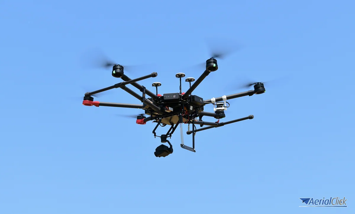
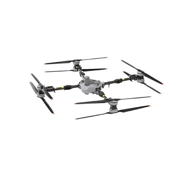
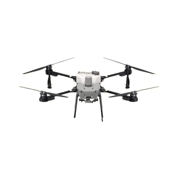
Among the many models, it is impossible not to mention the one tested by thousands of farmers on areas of over ten thousand hectares: we are referring to the Matrice drone with its accessories that has revolutionized agricultural work.
Tested even on very large crops, with its speed and light weight it has proved particularly effective in fighting pests.
In particular, this device has proved extraordinary in the following fields of application:
Among the many interesting offerings in the field of agricultural drones, MicaSense is certainly worth mentioning among the latest-technology gems.
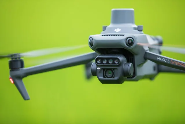
It is a new and very interesting 3-in-1 solution capable of capturing thermal and multispectral images, a top-of-the-range sensor specifically dedicated to mapping drones that enables advanced analysis with the aim of simplifying the workflow, with synchronized acquisition of the data to be collected.
Thanks to accessories like these, drones can provide more precise and increasingly frequent data on crop conditions.
This data is in high demand and includes:
The drones' multispectral cameras capture both visible and invisible images, providing the data needed to monitor crop health optimally.
In particular, drone photogrammetry makes it possible to:
Multispectral cameras also allow connection to the UAS, thus making it possible to acquire all the information on the very health of the soil.
At the same time the camera captures and transmits the same image visible to the naked eye (RGB).
Precision agriculture with drones in agriculture therefore relies on increasingly modern, refined and effective instruments. It would be a real shame not to take them into account.
Drones in agriculture make it possible to survey fields from above quickly and to collect data useful for agronomic decisions. Thanks to GPS, sensors and processing software, you can assess soil condition, monitor crop health and plan targeted irrigation and fertilisation. Depending on the goal, you use mapping drones with multispectral cameras or drones for spraying and spreading products in the field.
The RGB camera is the starting point for photogrammetry, orthophotos and 3D terrain models. The multispectral camera adds the bands invisible to the human eye and lets you calculate vegetation indices, identify nutrient deficiencies and distinguish plant vigour. The thermal sensor, on the other hand, helps assess water stress and soil temperature: integrated solutions such as multispectral and thermal sensors in a single payload simplify the workflow thanks to synchronised data acquisition.
After the flight, the images are processed with dedicated software that produces orthomosaics, vegetation index maps and terrain models. These outputs can be shared with the agronomist and used for variable-rate prescriptions in the field. Proper flight planning, with altitude and ground resolution set in advance, is the basis for obtaining data that can be compared over time.
It is used to monitor crops and soil with aerial footage and sensors, to produce maps and 3D models of the field and, with the dedicated agricultural models, to spray or spread products in a targeted way.
For orthophotos and basic mapping an RGB camera is enough; for vegetation indices, nutrient deficiencies and plant vigour you need a multispectral camera, possibly combined with the thermal sensor for water stress.
The mapping drone carries cameras and sensors to collect data; the spraying and spreading drone carries tanks and distribution systems to treat the crop directly.
Professional use of drones requires operator registration and the pilot qualifications provided for by European and ENAC regulations. AerialClick organises courses and can help you choose the most suitable configuration.
Selected by our staff based on the topic of the article. Not sure which one to choose? Ask us for advice.
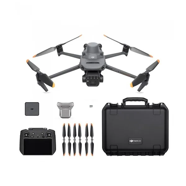
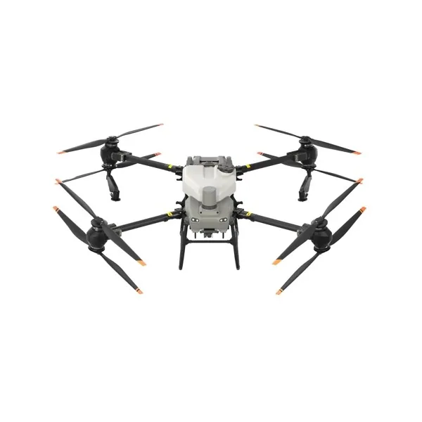
We help you choose the drone, sensors and software based on the job to be done, with training and after-sales support. We usually reply within one business day.
In recent years, precision agriculture has become one of the most talked-about tools in the farming sector.
· 3 min read
In recent years, the agricultural sector has undergone a radical transformation thanks to the gradual and steady introduction of ever more advanced technologies.
· 3 min read
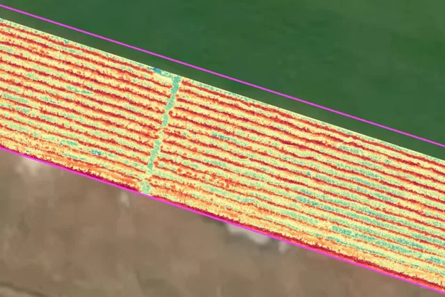
Imagine flying over a vineyard today and getting an NDVI map that highlights some stressed areas. You repeat the same survey a few days later, with the same...
· 2 min read
🍪 Cookies on AerialClick
We use technical cookies, which are necessary for the site (cart, login). With your consent we also use marketing cookies (Meta) to measure campaigns and show you relevant ads. You can change your mind at any time from "Cookie preferences" at the bottom of the page. Cookie policy