In recent years, the agricultural sector has undergone a radical transformation thanks to the gradual and steady introduction of increasingly advanced technologies. Among these, the use of drones — especially when equipped with multispectral cameras — has marked the beginning of a new era: that of precision agriculture or agriculture 4.0.
What multispectral cameras are and what they are used for
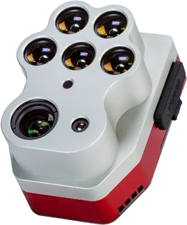
A multispectral camera can detect the light reflected by crops in specific bands of the electromagnetic spectrum, well beyond the visible (such as near-infrared). This information, when properly processed, makes it possible to obtain detailed agronomic maps useful for:
Assessing the vegetative health of plants.
Detecting areas of water stress or nutrient deficiencies early.
Optimizing agronomic operations (fertilization, irrigation, phytosanitary treatments).
Monitoring crop growth and vigor throughout the entire production cycle.
NDVI, NDWI and other vegetation indices
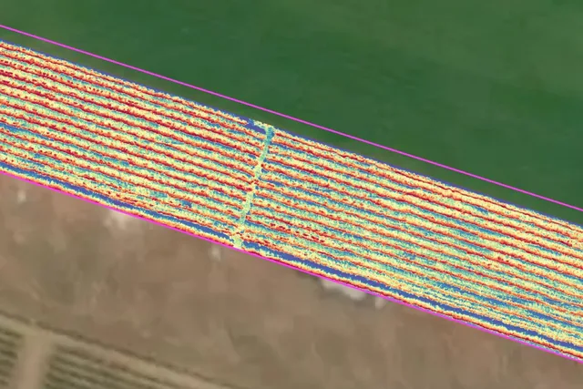
By processing multispectral images, it is possible to generate vegetation indices that help farmers make data-driven decisions. Among the most common:
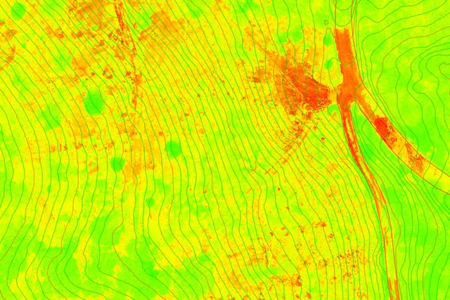
NDVI (Normalized Difference Vegetation Index): measures vegetative vigor. High values indicate healthy plants that are active in photosynthesis.
NDWI (Normalized Difference Water Index): useful for monitoring crop water stress and assessing water availability in the soil.
These indices are translated into easy-to-read maps, divided by areas of intervention, and can be loaded into agricultural terminals to carry out targeted actions.
The most efficient drones for agriculture
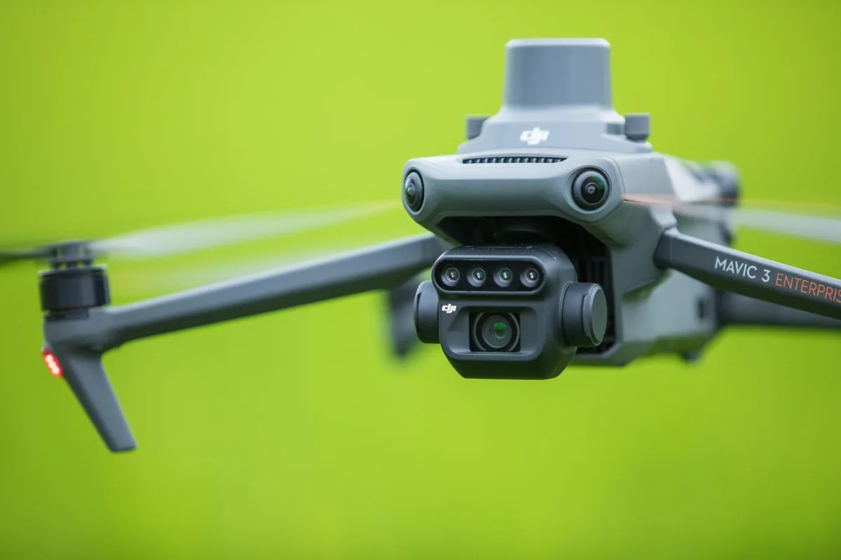
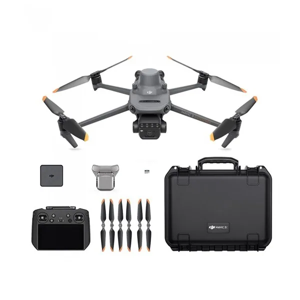
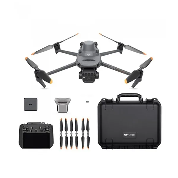
One of the most efficient drones for this type of survey is the DJI Mavic 3 Multispectral. It is a lightweight and easily transportable platform, equipped with a dual camera (RGB and multispectral) and an integrated RTK system, which guarantees centimeter-level accuracy and high performance. It is the ideal tool for carrying out periodic crop surveys and generating reliable data for processing vegetation indices.
But alongside analysis, action comes into play. Combining a drone for multispectral surveying with an operational drone able to intervene directly on the critical areas identified makes it possible to optimize every stage of the agricultural process, turning data into targeted and timely interventions.
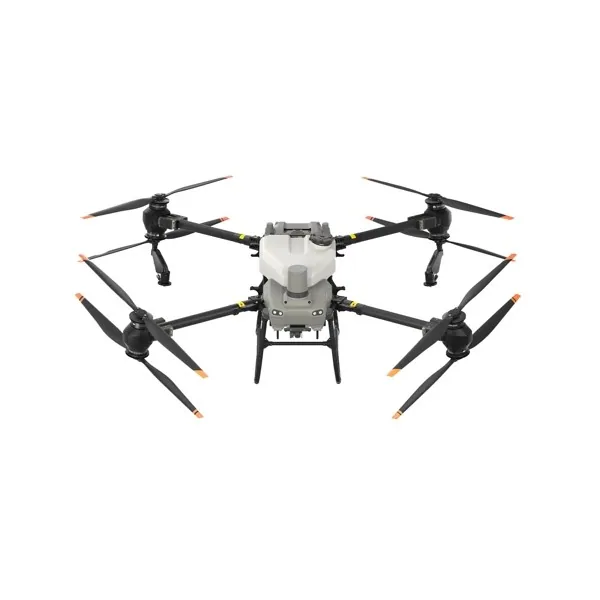
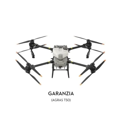
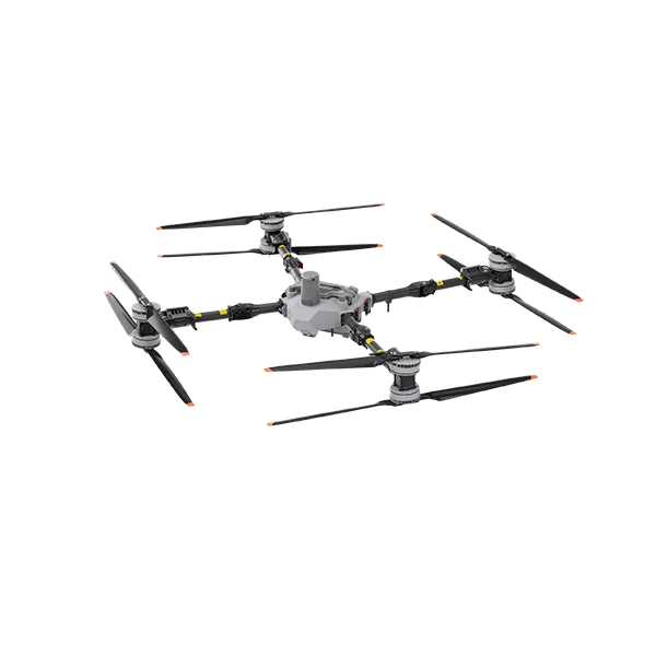
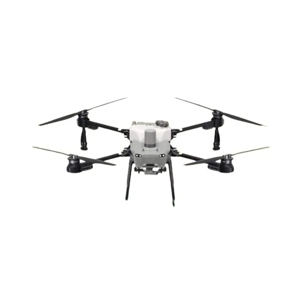
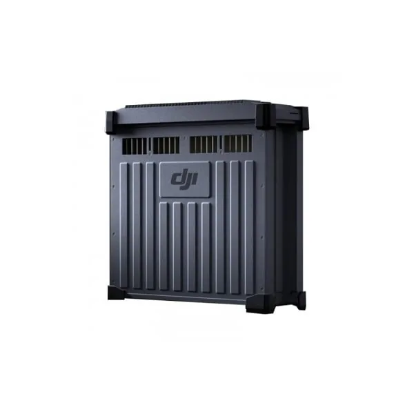
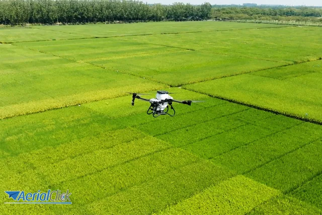
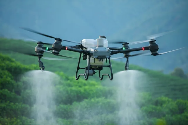
The DJI Agras T50 is a drone designed for applying liquids and granules on all types of crops. It can:
Spray large areas evenly (up to 21 hectares per hour).
Automatically recognize trees, obstacles and optimal flight lines.
Generate automated 3D routes based on previous multispectral maps.
Combined use: data and action, all in one smart workflow
As mentioned, the real power of the technology lies in the synergy between survey drones and operational drones:
Survey with Mavic 3M: a multispectral flight is carried out to identify areas with reduced vigor or water stress.
Data processing: NDVI or NDWI maps are generated and the areas that need intervention are identified.
Intervention with Agras T50: the maps are loaded into the spraying drone to distribute fertilizers or plant protection products only where needed.
This approach allows sustainable, efficient and data-driven crop management, reducing the use of chemicals and improving yields.
The agriculture of the future is already here: more precise, more sustainable, smarter. Rely on technology to transform the way you farm for a more sustainable future and greater profitability from your land!