
GEC Software
Additional modules for Topografo GEC
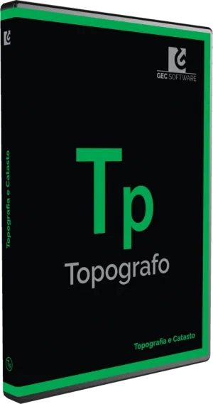
Topografo's Module A (GEC Software) adds to the software the tools for agricultural land arrangement works: it is designed for those who plan agricultural land arrangements starting from topographic and drone surveys.
- 24-month legal guarantee of conformity and official GEC Software warranty
- Insured shipping, free over € 1,999 (parcels up to 50 kg) · Pick-up at our premises in Brindisi
- 14-day right of withdrawal for private customers
- Technical support in our workshop
Description
Topografo's Module A is the GEC Software extension for agricultural land arrangement works. It is added to Topografo, the software for drone surveys, cadastre and topography, and is designed for those who plan agricultural land arrangements starting from topographic and drone surveys.
What Module A is for
The module is dedicated to agricultural land arrangements, that is, work on farmland that requires an accurate survey of the surface and the planning of interventions. It works on the data that Topografo already handles, including data obtained from drone surveys.
Topografo in brief
Topografo by GEC Software is professional software for managing drone surveys, 3D models, Pregeo procedures (the Italian Revenue Agency procedure for cadastral update filings), boundary re-establishment, orthophotos (geometrically corrected aerial images, on which you measure as on a map) and point clouds (sets of millions of points with three-dimensional coordinates that describe the terrain and the surveyed objects).
Module A is not a standalone program: it extends Topografo's functions for a specific field of work.
Topografo add-on modules
- Module A: agricultural land improvements
- Module D: 3D modeling and design
- Module E: advanced point cloud management
- Module M: surveying and 3D model management
- Module N: advanced boundary re-establishment management
- Module P: profiles and cross-section design
- Module R: georeferencing and perspective rectification
- Module T: general and cadastral surveying
You can also find other drone software, from photogrammetry to flight planning.
Why choose it from AerialClick
We are drone pilots and technicians in Brindisi: we can recommend the software and modules best suited to your surveys and, if you need a drone to capture the data, help you find one among the drones in our catalogue. To fly legally you can take the AerialClick piloting courses for ENAC certificates (the Italian Civil Aviation Authority). For questions about compatibility and versions, contact us.
Frequently asked questions
Does Module A work on its own?
No, it is an add-on module for GEC Software's Topografo and extends its functions for agricultural land arrangements. Before purchasing, check with us the compatibility with the version of Topografo you use.
What does Topografo do with drone data?
Topografo handles drone surveys, 3D models, Pregeo procedures, boundary re-establishment, orthophotos and point clouds. The modules add tools for specific fields of work.
How do I choose the right module?
It depends on the work you do: agricultural land arrangements (A), 3D design (D), point clouds (E), 3D models (M), boundary re-establishment (N), profiles and sections (P), georeferencing (R), topography and cadastre (T). If in doubt, contact us and we will help you choose.
Legal guarantee
As a consumer you are entitled by law to the legal guarantee of conformity for at least 2 years from delivery, for any defect present at the time of delivery (Italian Consumer Code, arts. 128 et seq.). The seller is directly liable for it. Any commercial warranties from the manufacturer are in addition to, and do not limit, the legal guarantee. Details and how to claim it.
You might also like
Have questions about this product?
Ask the people who use and repair it every day. We usually reply within one business day.
€ 242,78