
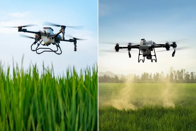
Earning with photogrammetry: which is the best drone to invest in?
Photogrammetry is a technique that, through the analysis of aerial photographs, allows you to reconstruct surfaces and objects in 3D, providing topographic data...
· 4 min read
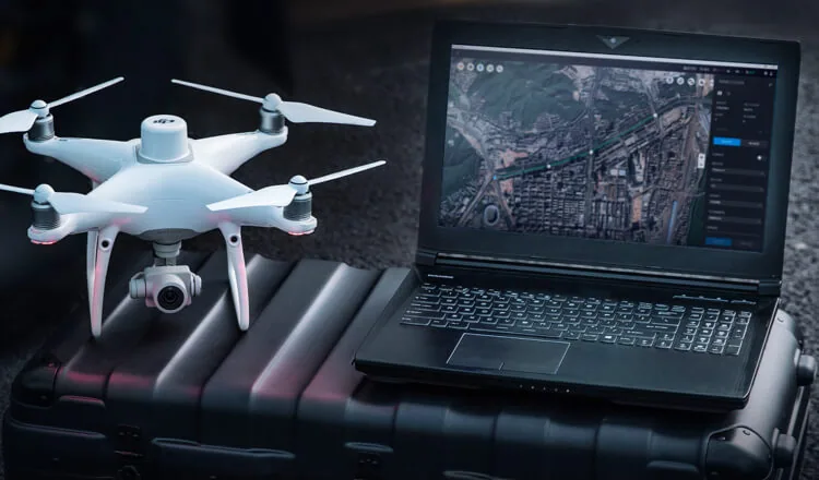
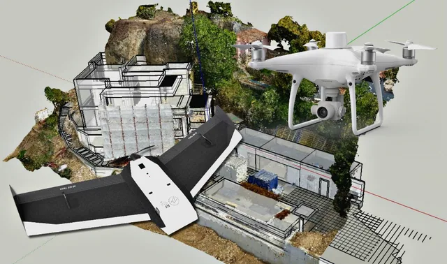
DJI Terra is a surveying software that turns the data collected by drones into 3D models and maps, guaranteeing a better, more intuitive and more precise experience when surveying places from the air.
The mapping system changes, the way businesses process data changes, and everyone who uses this technology can capture, view and analyze aerial images for a variety of applications across many sectors, including construction and infrastructure, public safety, agriculture, film, and more.
Several drones are compatible with DJI Terra, in particular the Phantom 4 in all its versions (Pro; RTK; Pro V2.0; Advanced; Pro+V2.0).
If the update of August 17, 2020 had already brought the mapping software for DJI Terra drones a speed 400 times faster than before, with a significant improvement in mapping and data processing accuracy, the December 2020 upd
ate did even more.
Support for offline operations has in fact been added to the mapping software.
Simply fantastic.
But the benefits of using DJI Terra don't end here.
Let's look in more detail at the benefits of the new December 2020 update for DJI Terra:
Let's analyze these three aspects one by one.
DJI Terra now supports an offline access feature that allows users to use many of Terra's functions without having to connect their devices to the Internet.
With this new-generation drone it is now possible to generate a calibrated map based on radiometrics for remote sensing research, as well as to create vegetation index maps including NDVI and NDRE. A new feature also lets you generate a prescription map with a variable-rate leveling strategy that helps improve crop yields.
Additional support makes it possible to separate flight missions from reconstruction missions.
Moreover, once the reconstruction mission has been completed, DJI Terra supports easy export in several formats. All with easy export of the models in multiple formats after the mission has been completed.
With the real-time mapping feature, DJI Terra allows drone pilots to quickly generate 2D orthomosaic maps while the drone is still flying.
This feature is ideal for important and urgent missions, designed for making decisions within minutes.
In these cases, the ability to ensure timely data processing is of vital importance.
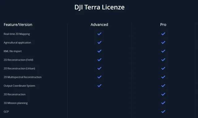
DJI Terra finally comes with three licences: Advanced, Pro and Electricity, with a choice between an annual plan and a perpetual plan.
The Electricity licence (added in 2020 and now no longer available on the DJI website) provides new optimisations for modelling power lines. This is a very important feature, helping users create more detailed 3D reconstructions of thin power lines.
We can truly say that the future of mapping and data processing is here now.
Selected by our staff based on the topic of the article. Not sure which one to choose? Ask us for advice.
We help you choose the drone, sensors and software based on the job to be done, with training and after-sales support. We usually reply within one business day.
Photogrammetry is a technique that, through the analysis of aerial photographs, allows you to reconstruct surfaces and objects in 3D, providing topographic data...
· 4 min read
For those outside the industry, the term “drone” covers all types of latest-generation flying machines, with no real distinction between...
· 3 min read

Pix4D and Metashape are software packages dedicated to surveying and geomatics professionals. They generate point clouds, DEM / DSM, 3D models, orthomosaics from photos...
· 5 min read
🍪 Cookies on AerialClick
We use technical cookies, which are necessary for the site (cart, login). With your consent we also use marketing cookies (Meta) to measure campaigns and show you relevant ads. You can change your mind at any time from "Cookie preferences" at the bottom of the page. Cookie policy