
Are you a drone pilot? Get noticed on Instagram with these tricks
How can a drone pilot promote their business and reach the widest possible audience without spending a fortune on campaigns...
· 5 min read
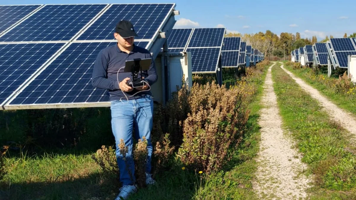
3 reasons why some professions can no longer do without drones.
2013 saw a boom of conferences and workshops in technical institutes and in engineering and architecture faculties on the use of drones for professional purposes, with hopes for swift regulation of civil uses. From Ferrara to Palermo, to the hubs of Milan and Turin, universities and professional associations of engineers and architects have worked together to discover and share the new frontiers of geomatics offered by quadcopters and hexacopters. The reasons for this enthusiasm are easy to identify:
From their controversial military heritage, drones for civil or professional use also inherit the thankless but extremely useful task of carrying out, at favourable costs (in money and time), jobs defined as dull, dirty, dangerous, linked to the fields of architecture and engineering. Among these jobs, as professionals well know, are surveys for the management and protection of land layout, infrastructure and building activities, all very important tasks, by no means foolish but thankless because they are very inconvenient and sometimes dangerous for surveyors, geologists, municipal technical offices, construction and restoration companies, as well as regional and forestry agencies.
In a delicate period not only for the economy in general but for the construction sector in particular, cutting costs and working times goes hand in hand with the need to offer competitive, high-tech, high-quality services. For this reason it is no longer possible to ignore or underestimate the usefulness of a tool that makes it possible to carry out, with millimetre precision, surveys that demand effort not only financially, but also in terms of time and physical labour.
An interesting example and experiment was carried out in the municipality of Salemi:
http://www.youtube.com/watch?v=BhmodqOmv2k&feature=youtu.be
This video documents the work of 20 surveyors who systematically surveyed, using a drone, 106 properties in the historic centre of the town, struck by the 1968 earthquake, ultimately creating a WebGIS. It is a very useful tool for carrying out analyses and for consultation by anyone who needs to work on the properties in this area: from the Municipal Technical Office to a prospective buyer of a house or a plot, from the design engineer in charge of the restoration project to the company that has to carry out the restoration work.
And you, do you know a surveyor or an engineer grappling with a drone? Will you tell us about their experience?
See work from above.
See life from above.
Selected by our staff based on the topic of the article. Not sure which one to choose? Ask us for advice.
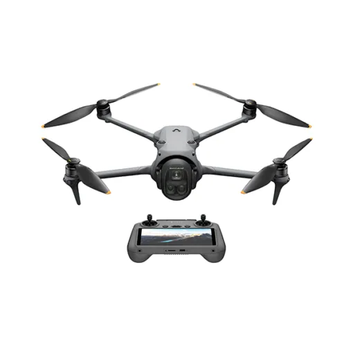
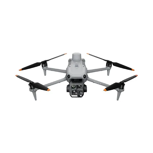
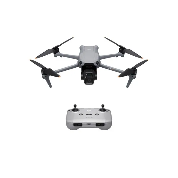
We prepare you for the ENAC exam for the A1/A3, A2 and STS certificates with instructors who fly every day: classroom courses in Brindisi, Calatabiano and Potenza, plus online lessons.
Discover the ENAC courses
How can a drone pilot promote their business and reach the widest possible audience without spending a fortune on campaigns...
· 5 min read
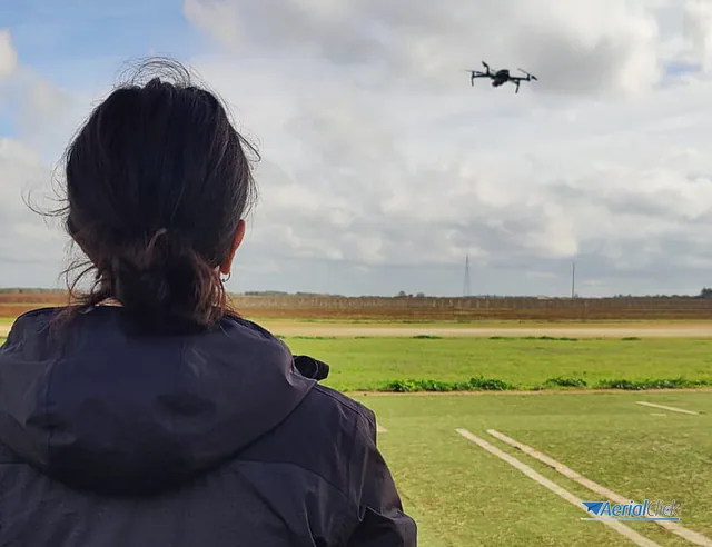
There's no denying it: the tendency to take up the profession of drone pilot is still predominantly male. In Italy, to date, there are fewer than twenty...
· 3 min read
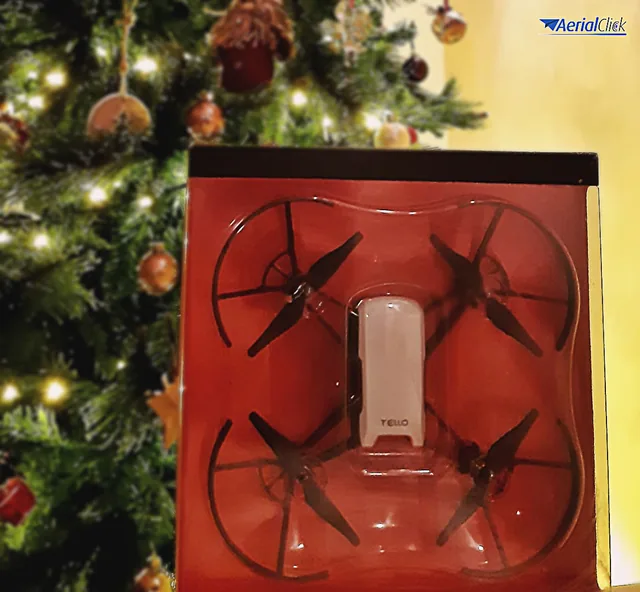
Tech gifts: how can you use them to find or improve your job? For the first year in an entire decade, it wasn't mobile phones that were the tech gift...
· 3 min read
🍪 Cookies on AerialClick
We use technical cookies, which are necessary for the site (cart, login). With your consent we also use marketing cookies (Meta) to measure campaigns and show you relevant ads. You can change your mind at any time from "Cookie preferences" at the bottom of the page. Cookie policy