
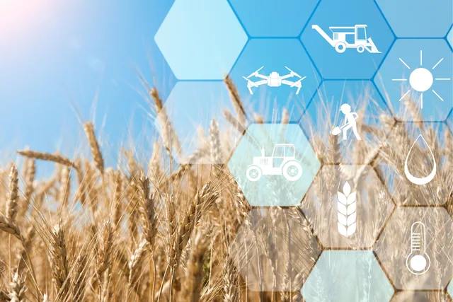
Why decision speed is becoming a competitive advantage in agriculture
In recent years the use of drones, sensors and digital technologies in agriculture has grown exponentially: farms now have the opportunity to...
· 3 min read
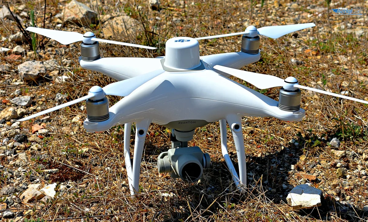
As already mentioned in previous articles, drones lend themselves to a whole range of uses and therefore represent a cross-cutting tool for a great many professions.
We know that agronomy, civil protection, cinema and even fashion make intelligent use of this technology, which is certainly new but also rapidly developing and increasingly widespread, partly thanks to its intuitiveness.
Today we briefly look at how surveyors, architects and engineers too can find in remotely piloted aircraft loyal, efficient and useful colleagues in countless fields of application.
From now on, updating existing maps or creating new ones using photogrammetry will be an increasingly fast and 'clean' process. With drones it is in fact possible to tile modified areas and carry out structural inspections even using just compact cameras (obtaining extremely precise DSM and DTM images). All this with the advantage of being able to 'be on site', virtually but with a true-to-life rendering of the situation, in a few minutes, keeping the cost of the intervention low. The quality of the image provided is decidedly high, with a planimetric and altimetric accuracy of 2 to 7 cm depending on flight altitude and lens calibration. By taking photos from the drone in close sequences, perpendicular to the ground so as to obtain photogrammetric strips, and by using dedicated software, you obtain a representation of the planimetric layout of the entire area as well as a faithful and detailed three-dimensional model.
To understand how surveyors and civil engineers can use a drone, just consider the recent case in Ferrara, where the Teatro Nuovo in Mirandola was flown over by a hexacopter in order to obtain a detailed mapping of the building damaged by the 2012 earthquake, before proceeding with its restoration, planned over three years. The drone climbed to 50 meters and took a photo every two seconds. The flight lasted only three minutes, enough to carry out the photogrammetric survey from above.
Bizarre but not too much so (at least not for surveyors) was the cemetery re-mapping carried out with a drone in the Czech Republic. Excellent and precise results in what can only be called 'record' time.
We recently gave an idea of how agriculture, particularly green and extensive farming, can benefit from the intelligent use of drones. Water and nutrient prescription maps for agricultural plots and multispectral imaging of crops are just some of the possible (and already implemented) fields of application. But the farming world is often linked to building abuses or agricultural fraud, and it is in this area too that surveys can be a precise aid, able to reduce risks in investigations and explorations.
By fitting a thermal camera to the aircraft, it is possible to search for illegal dumps and pollutant spills in water, as well as to identify possible sources of pollutants creeping along utility networks such as gas pipelines, power lines, etc.
All this could, for example, have been done to carry out analyses on the devastated 'Terra dei Fuochi', reducing wherever possible the intervention of technicians on heavily contaminated land and perhaps limiting some cases of leukemia among those carrying out sampling and investigations.
Surveys of this kind are already under way in the Amazon and in many areas of the planet subject to environmental protection under international restrictions. But we will talk about this soon and in more depth.
In the meantime,
see life from above.
Selected by our staff based on the topic of the article. Not sure which one to choose? Ask us for advice.
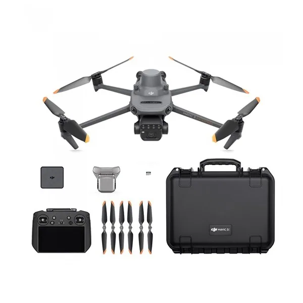
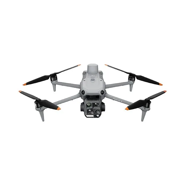

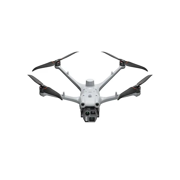
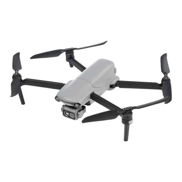
We help you choose the drone, sensors and software based on the job to be done, with training and after-sales support. We usually reply within one business day.
In recent years the use of drones, sensors and digital technologies in agriculture has grown exponentially: farms now have the opportunity to...
· 3 min read
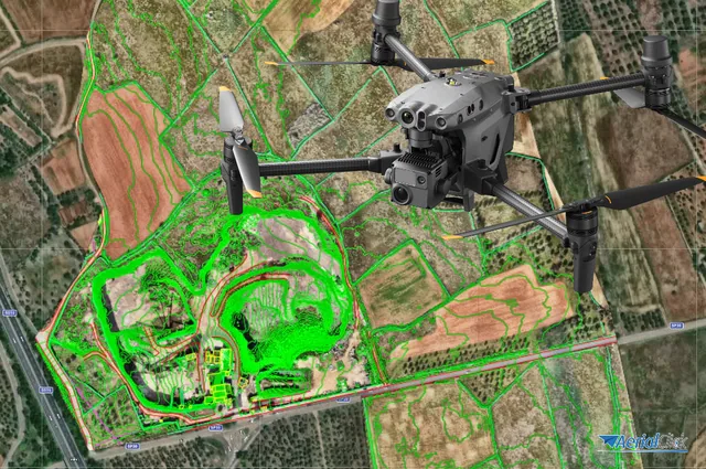
Ever since the first quadcopters on the market used only a GoPro as a payload to shoot video, without relying on a proper system of...
· 3 min read
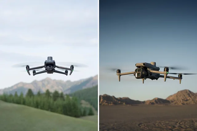
When it comes to professional drones for mapping, surveying and advanced industrial applications, the new DJI Matrice 4 range and the established DJI Mavic 3...
· 4 min read
🍪 Cookies on AerialClick
We use technical cookies, which are necessary for the site (cart, login). With your consent we also use marketing cookies (Meta) to measure campaigns and show you relevant ads. You can change your mind at any time from "Cookie preferences" at the bottom of the page. Cookie policy