

Photogrammetry: how to minimize the number of ground control points
Drones are talked about a lot today, they are practically fashionable but, on closer inspection, their use does in fact justify this trend.
· 3 min read
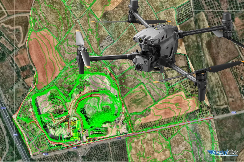
Ever since the first commercially available quadcopters used just a GoPro as a payload to shoot video, without any real stabilization system, it has never been possible to do without software to complement footage shot from above, even though the technology of some fifteen years ago is not comparable to today's.
In this article, in fact, we won't talk about the software a drone needs in order to fly, but about all the programs a drone pilot needs in order to make good use of the data collected in the field.
But why does software seem to be so important? Let's find out together!
Programs and applications to install on your own device or to use directly online are a real lifesaver for those who work professionally with drones. Remotely piloted aircraft, in fact, can be used professionally for many purposes, such as aerial filming, photogrammetry, inspections or even precision agriculture, since they make it possible to capture a large amount of data in a very short time, all with centimeter-level accuracy (thanks to the use of reliable resources). Regardless of what a drone is used for, all these programs and applications are the practical solution for organizing the data captured from the sky by the remotely piloted aircraft.
As already mentioned at the start of this article, using software has been necessary in every field of application since the early years when drones were used professionally.
In the case of video footage, for example, you need to combine, assemble and edit the clips shot during the flight, in order to make them as pleasing and appealing as possible to viewers.
For photogrammetry, optical and thermal inspections and precision agriculture, on the other hand, however much the methods differ from one field of application to another, the data collected from aerial footage through photos or videos will need to be analyzed with dedicated software, which often has to meet requirements that allow not only processing the final data, but also making it accessible and understandable through accurate reports that can be shared with your clients.
If you are wondering which software will accompany you in your work, you should know that the answer is very subjective, as it must take into account many factors that depend solely on you.
First of all, there are many very good and professional programs that are also easy to use, such as the versions offered by Agisoft Metashape or Pix4D, as well as the packages offered by Surveying Tools, where you can fully dedicate yourself to surveying and mapping work, and also the possibility of obtaining point clouds directly with 3DSurvey; moreover, you can also use several programs in combination to achieve accurate data precision.
Click here to discover the software we recommend
In any case, what will make the difference when you make your choice will necessarily depend on a few factors you absolutely cannot overlook, including:
For this reason, through our courses, we give students the chance to test some software hands-on, so they can get to grips with it and understand every feature from the very first moments.
And you? Are you already using software to process the data captured by your drone?
Tell us in the comments!
Selected by our staff based on the topic of the article. Not sure which one to choose? Ask us for advice.
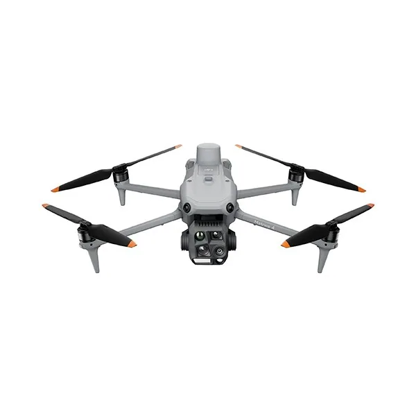
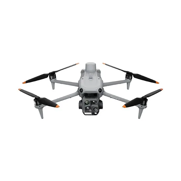
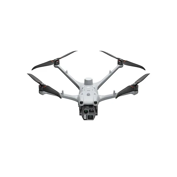
We help you choose the drone, sensors and software based on the job to be done, with training and after-sales support. We usually reply within one business day.
Drones are talked about a lot today, they are practically fashionable but, on closer inspection, their use does in fact justify this trend.
· 3 min read
The development of specialized software applications has made it possible to tackle and solve complex problems concerning the automation and optimization of many...
· 3 min read
For those outside the industry, the term “drone” covers all types of latest-generation flying machines, with no real distinction between...
· 3 min read
🍪 Cookies on AerialClick
We use technical cookies, which are necessary for the site (cart, login). With your consent we also use marketing cookies (Meta) to measure campaigns and show you relevant ads. You can change your mind at any time from "Cookie preferences" at the bottom of the page. Cookie policy