
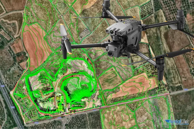
Processing software: is it necessary for a drone pilot?
Ever since the first quadcopters on the market used only a GoPro as a payload to shoot video, without relying on a proper system of...
· 3 min read
Drones are talked about a lot today, they are practically fashionable but, on closer inspection, their use does in fact justify this trend.
The uses of drone photogrammetry span different fields, from professional work to hobbies.
Thanks to increasingly advanced software, as well as tablets and smartphones used in the field, carrying out topographic surveys, photogrammetry and many other measurements that once required too much time and money has become intuitive and accessible.
Their widespread adoption, mass production and the great accessibility of these tools have also brought prices down considerably, putting them within almost everyone's reach.
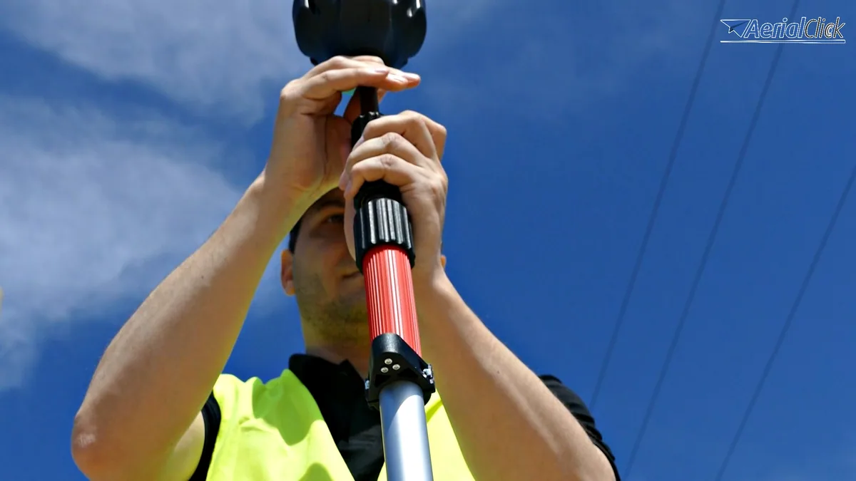
At the same time, by using a high-precision GPS, thanks to latest-generation drones also used in construction, the geographic position of each point is established.
All of these elements must be taken into account when planning a flight.
Knowing precisely the correct position where each image was taken is very important to ensure the accuracy of the reconstructions.
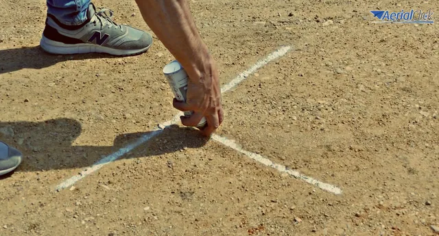
Sometimes GPS technology can suffer from some errors, as can the drones' positioning devices. This is where control points come in: they compensate for this, allowing a more accurate geolocation of each pixel.
In photogrammetry the drone is perfect for the job, offering an affordable alternative to using a helicopter or manual laser scanning.
In a single day, using specific latest-generation drones, it is possible to map a truly vast area.
Their millimetre-level accuracy has made them a tool of excellence in various mapping applications, making it possible to minimize the number of ground points.
The regulations governing the use of unmanned aerial vehicles have recently allowed the technology to spread ever more widely for civil applications.
But how many control points are needed? In drone photogrammetry it is advisable to work with as few points as possible, so that they remain manageable.
In any case, every project is unique and always requires its own analysis.
Ground points must be clearly visible in several photographs and should be limited in areas where they cannot be seen from the aerial footage. It is therefore best to avoid placing control points in areas where they may be covered by buildings, trees, vegetation, etc.
In topographic surveying the drone is irreplaceable.
In photogrammetry, thanks to this small but powerful tool, it is possible to survey and capture in 3D the geometric characteristics of an object through a combined process using multiple images taken from different positions.
This technique is based on the law of perspective and on descriptive geometry, which make it possible, through a point cloud, to reproduce in three dimensions a landscape or an object to be explored with drone photogrammetry.
However, in photogrammetry, it is not unusual to receive from the specific software used for the purpose a survey point cloud counting ten, twenty or more million points.
The points are very close to one another, and while the reconstructed three-dimensional model is truly beautiful, it is equally true that the difficulty of reading it for anyone who wants to carry out a drone topographic survey is immense.
Thanks to latest-generation drones these points are far fewer, with guaranteed top results, much more performant than in the past.
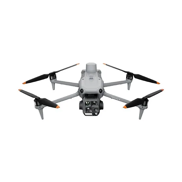
Selected by our staff based on the topic of the article. Not sure which one to choose? Ask us for advice.



We help you choose the drone, sensors and software based on the job to be done, with training and after-sales support. We usually reply within one business day.
Ever since the first quadcopters on the market used only a GoPro as a payload to shoot video, without relying on a proper system of...
· 3 min read
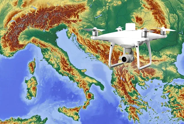
The development of specialized software applications has made it possible to tackle and solve complex problems concerning the automation and optimization of many...
· 3 min read
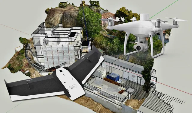
For those outside the industry, the term “drone” covers all types of latest-generation flying machines, with no real distinction between...
· 3 min read
🍪 Cookies on AerialClick
We use technical cookies, which are necessary for the site (cart, login). With your consent we also use marketing cookies (Meta) to measure campaigns and show you relevant ads. You can change your mind at any time from "Cookie preferences" at the bottom of the page. Cookie policy