
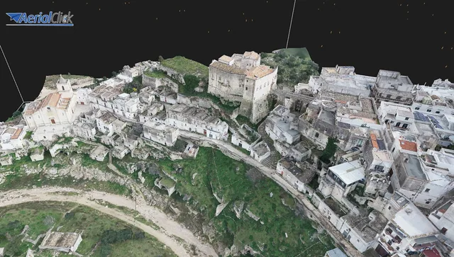
Surveying buildings? Use a laser scanner!
Technology has made great strides in architectural surveying. Today it is truly possible to say that the use of cutting-edge tools such as the scanner...
· 3 min read
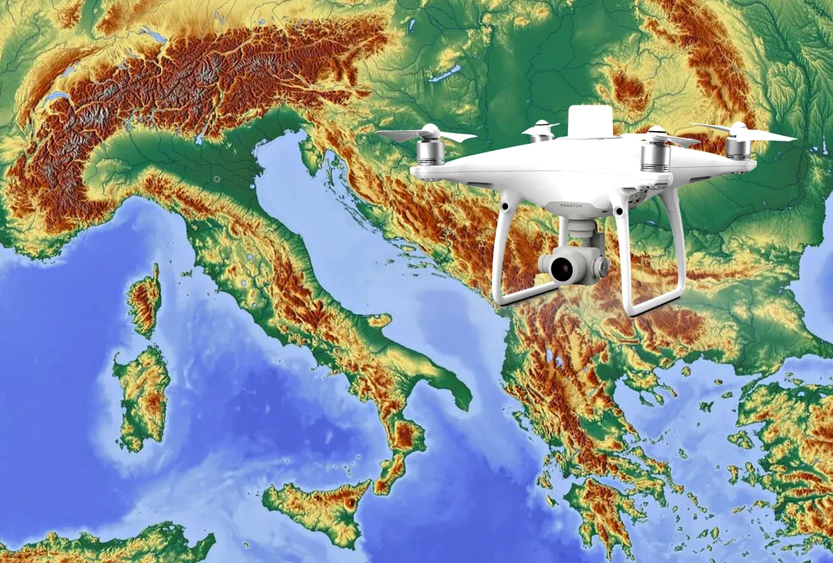
The development of specialized software applications has made it possible to tackle and solve complex problems concerning the automation and optimization of many professional operations.
The computerized representation of the terrain model aims to digitally represent the Earth's surface through a mathematical model of the Earth's surface.
It can be used in a variety of applications, both civil and industrial.
Per ottenere il modello del terreno in digitale il primo step è quello della elaborazione dati, che ha luogo utilizzando un metodo di interpolazione basato sul rilievo che evidenzia la superficie naturale presa in esame.
This digital model is precisely the foundation of the complex mechanism that governs the DSM.
Photogrammetry makes it possible to acquire stereometric frames, that is, the metric data of a given object, particularly regarding its shape and position.
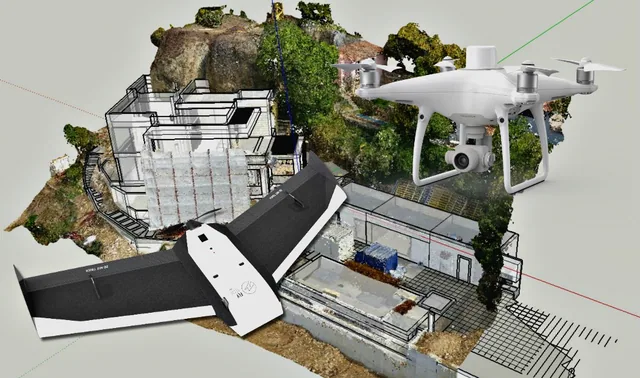
The drones used for this service are equipped with cameras calibrated to allow the recording of images in 3D in post-production. Drone photogrammetry makes it possible to assess and record with extreme precision the dimensions of an object or a desired area, as well as its shape.
The photogrammetric survey itself also provides a large amount of complete and detailed information, which helps limit the time needed for field investigations.
A DSM (Digital Surface Model) is a digital model of the topographic surface that represents all the elements of a given territory, both natural and man-made (buildings, bridges, trees, etc.), and which can be derived either from active three-dimensional acquisitions, including remote sensing techniques using laser pulses, or through drone photogrammetry itself.
Together with other techniques such as DTM (Digital Terrain Models) and DEM (Digital Elevation Models), DSMs are digital elevation models, raster datasets represented by one elevation value per cell. The file types can vary: tiff, txt, geotiff, etc., which, broadly speaking, are handled by GIS software.
As you can imagine, the underlying mechanisms are very complex.
Therefore, it is absolutely necessary to know in detail all the topographic elements of the work area, which makes it possible to take the appropriate actions to obtain the digital terrain model. Within specialized software, the appropriate parameters needed to carry out each type of study are set. In a LiDAR system, light pulses travel toward the ground, bounce off the target and then return to the sensor, providing the range (a variable distance) from the Earth.
A DSM is able to capture the natural features and any structures on the Earth's surface and proves useful in 3D modeling for telecommunications, urban planning and aviation.
Drone enthusiasts should keep the following differences in mind:
In conclusion, the DSM is the product of studies and highly useful applications of the latest-generation photogrammetry, which seemed to have reached its peak in recent years, but, probably, we were wrong.
Selected by our staff based on the topic of the article. Not sure which one to choose? Ask us for advice.
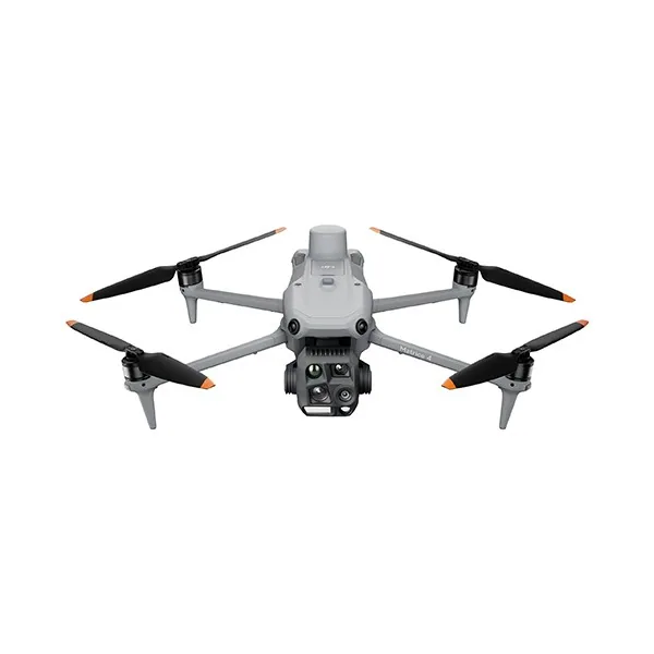



We help you choose the drone, sensors and software based on the job to be done, with training and after-sales support. We usually reply within one business day.
Technology has made great strides in architectural surveying. Today it is truly possible to say that the use of cutting-edge tools such as the scanner...
· 3 min read
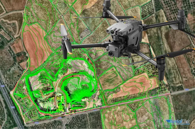
Ever since the first quadcopters on the market used only a GoPro as a payload to shoot video, without relying on a proper system of...
· 3 min read
For those outside the industry, the term “drone” covers all types of latest-generation flying machines, with no real distinction between...
· 3 min read
🍪 Cookies on AerialClick
We use technical cookies, which are necessary for the site (cart, login). With your consent we also use marketing cookies (Meta) to measure campaigns and show you relevant ads. You can change your mind at any time from "Cookie preferences" at the bottom of the page. Cookie policy