
Pix4D or Agisoft Metashape: which one to choose?
Pix4D and Metashape are software packages dedicated to surveying and geomatics professionals. They generate point clouds, DEM / DSM, 3D models, orthomosaics from photos...
· 5 min read
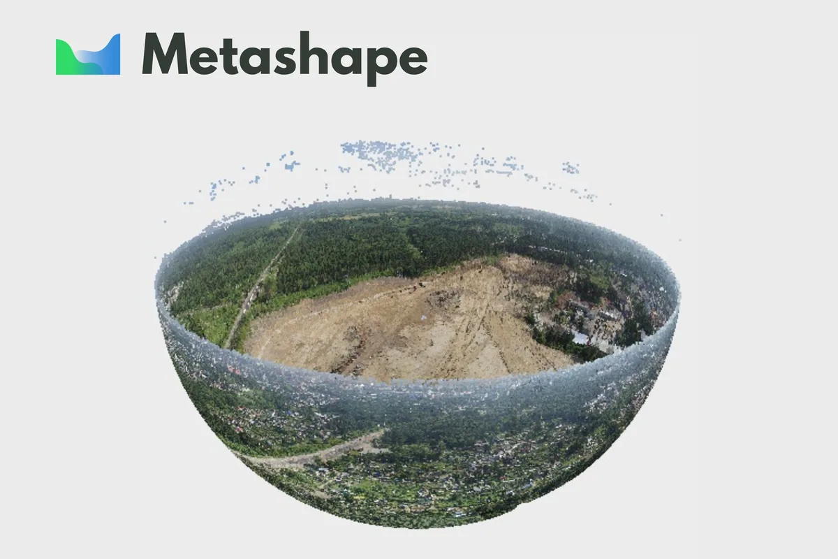
Agisoft Metashape is an advanced software that uses photogrammetric techniques to turn a series of images into 3D spatial data.
This technology is particularly useful in scenarios where precision and detail are essential, for example in drone inspections: Metashape processes high-resolution images captured by drones to build detailed 3D models, allowing operators to accurately assess structural conditions and topographic changes. These capabilities make it essential for monitoring infrastructure and for planning interventions in hard-to-reach areas.
Agisoft Metashape stands out for its excellent ability to process a wide range of image formats, including RAW files from professional cameras. This feature allows users to make the most of the high-quality images captured by drones, ensuring extremely precise final results. The software is especially valuable for professionals working on infrastructure planning and topographic analysis projects, thanks to its ability to turn images into detailed digital terrain models, such as DTM and DEM.
Metashape is also very effective at identifying and mapping changes over time, making it an essential tool for the continuous monitoring of infrastructure and natural environments. It makes periodic inspections easier, providing reliable data to assess structural changes or environmental developments.
Another significant strength of Metashape is its ability to create high-precision orthophoto maps. These maps are crucial for accurately documenting and visualizing the environment with realistic detail, allowing a direct visual assessment of the monitored areas.
To sum up, integrating Metashape into drone inspection operations offers a significant advantage in terms of precision, detail and versatility. It therefore establishes itself as one of the most advanced photogrammetry software solutions for turning aerial images into precise and detailed 3D models.
The versatility of Metashape is one of its most distinctive and appreciated traits. The software supports the integration of images from various sensors and allows advanced users to customize the workflow through Python scripts. This feature is crucial for automating and optimizing processes, especially in large-scale projects or those that require frequent repetition of operations.
The continuous development and updating of the software by Agisoft also ensures that Metashape always stays at the cutting edge. Users regularly benefit from improved features and new options that directly meet their needs, making Metashape an increasingly effective and future-oriented choice.
Conclusion
The ability to produce detailed 3D models and orthophoto maps and to monitor changes over time makes Metashape an indispensable tool for anyone looking to maximize the effectiveness of aerial inspections, ensuring decisions based on concrete and reliable data.
Metashape provides the tools needed to make the most of the data collected by drones during inspection operations, ensuring accurate, high-quality results in various professional contexts: its integration raises the quality and efficiency of monitoring and planning projects, making the software a logical choice for industry professionals.
Selected by our staff based on the topic of the article. Not sure which one to choose? Ask us for advice.


We help you choose the drone, sensors and software based on the job to be done, with training and after-sales support. We usually reply within one business day.
Pix4D and Metashape are software packages dedicated to surveying and geomatics professionals. They generate point clouds, DEM / DSM, 3D models, orthomosaics from photos...
· 5 min read
Ever since the first quadcopters on the market used only a GoPro as a payload to shoot video, without relying on a proper system of...
· 3 min read
The development of specialized software applications has made it possible to tackle and solve complex problems concerning the automation and optimization of many...
· 3 min read
🍪 Cookies on AerialClick
We use technical cookies, which are necessary for the site (cart, login). With your consent we also use marketing cookies (Meta) to measure campaigns and show you relevant ads. You can change your mind at any time from "Cookie preferences" at the bottom of the page. Cookie policy