
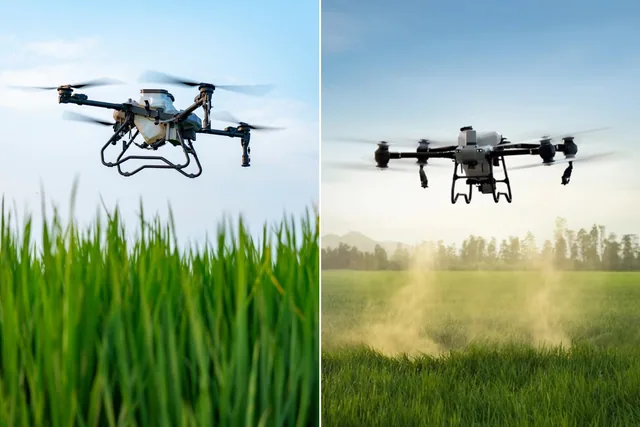
Earning with photogrammetry: which is the best drone to invest in?
Photogrammetry is a technique that, through the analysis of aerial photographs, allows you to reconstruct surfaces and objects in 3D, providing topographic data...
· 4 min read
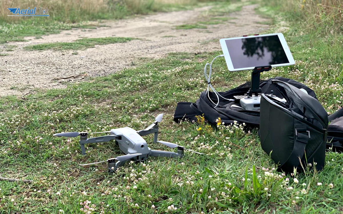
From the rainforest to Italian woodlands, drones save the environment
It was 2011, and two scientists, Lian Pin Koh, an American ecologist, and Serge Wich, a Dutch biologist, met to discuss how it might be possible to protect animal species far from the protected areas of the economically developed world, in those countries where socio-political problems do not allow resources to be invested in protecting wildlife and the ecosystem.
Besides a love for the environment and a lifetime of study devoted to it, the two young researchers shared another thing: a hobby and an interest in drones and remotely piloted aircraft. Thanks to these passions and these simple, innovative tools, they created and carried out a project, funded and promoted by the National Geographic Society, aimed at mapping the areas where the orangutans of the remote rainforest of the Sumatra region live and feed. Following this detailed mapping, local NGOs will be able to submit scientifically grounded petitions to draw a red line beyond which it will no longer be possible to uproot palms to produce palm oil, used in Asian cooking but also in all Western cosmetics products. In this way it will be possible to save thousands of animals from extinction, and they will not be the only ones; the two scientists have in fact created an NGO called Conservation Drones, which gathers other conservation ideas and projects carried out through UAVs.
The slow growth of vegetation in Arctic regions, the melting of glaciers and the breaking away of ice caps are events that in recent years have been controlled and monitored with the aid of drones. This has allowed researchers not only to have a less invasive presence in areas as inaccessible as they are extremely delicate, but also to cut mission costs and implement faster, more targeted and more effective protective measures.
The Italian Forestry Corps has recently discovered the endless potential of drones for detecting, through the onboard cameras, waste and spills, most of the time invisible to normal ground inspections. The ability to detect, even at night, the presence and type of waste, to georeference the territory and to monitor air, water and soil in 3D has led the forestry corps to acquire official UAVs and promote courses for piloting them. This choice will be a turning point in the fight against arson, whether by careless or criminal hands, which affects our wooded areas every summer.
Goletta Verde, meanwhile, promotes the fight for environmental legality through remotely piloted aircraft. It will be discussed tomorrow, Wednesday, July 2, at 11:00 a.m., at the Harbour Master's Office of Castellammare di Stabia. On this occasion the Sarno Dossier: analysis, figures and observations on the delicate ecosystem of the river and the gulf will be presented. During the meeting, Professor Massimiliano Lega, head of the environmental sanitary engineering research line, will present the possible and necessary developments in applying drone technology to environmental monitoring and the experience of applying these technologies in Campania, a region as exposed as it is sensitive and on the front line in the fight against eco-mafias.
However much the eye of drones will never be as powerful as widespread civic sense and the action of active citizens, it is still one more tool (and what a tool).
See the environment from above.
Save the environment from below.
We help you choose the drone, sensors and software based on the job to be done, with training and after-sales support. We usually reply within one business day.
Photogrammetry is a technique that, through the analysis of aerial photographs, allows you to reconstruct surfaces and objects in 3D, providing topographic data...
· 4 min read
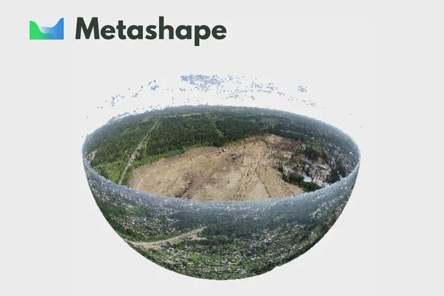
Agisoft Metashape is an advanced software that uses photogrammetric techniques to turn a series of images into 3D spatial data.
· 3 min read
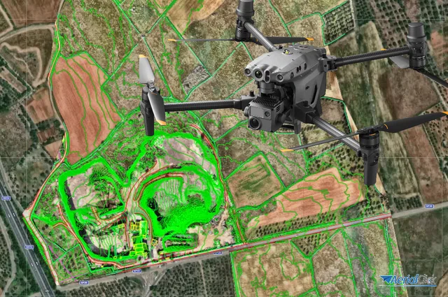
Ever since the first quadcopters on the market used only a GoPro as a payload to shoot video, without relying on a proper system of...
· 3 min read
🍪 Cookies on AerialClick
We use technical cookies, which are necessary for the site (cart, login). With your consent we also use marketing cookies (Meta) to measure campaigns and show you relevant ads. You can change your mind at any time from "Cookie preferences" at the bottom of the page. Cookie policy