
Earning with photogrammetry: which is the best drone to invest in?
Photogrammetry is a technique that, through the analysis of aerial photographs, allows you to reconstruct surfaces and objects in 3D, providing topographic data...
· 4 min read
Global-scale mapping to set the scene for the very latest role-play games
Are you familiar with the latest-generation video games grouped under the definition of Open World?
These are games in which the player has great freedom of movement, choosing or stumbling upon different situations and settings, simply following a pre-established plot. As on a theatre stage where actors improvise, there is only one thread to follow, one goal to pursue. And to do so you have to overcome obstacles while moving through hyper-realistic spaces, created in 3D by teams of graphic artists who work for years on each single game.
A key element of the success of this kind of pastime lies precisely in the freedom perceived by the player and in the hyper-realistic setting provided by the graphics, which often makes it unsuitable and even prohibited for minors.
Yet this modern type of game is about to be surpassed by a new model made possible precisely thanks to drones.
The project, called ReRoll, will rebuild the entire planet faithfully and at a 1:1 scale. The territory is mapped using drones equipped with HD cameras. The images are then processed by software that performs a three-dimensional rendering of all the detected elements: buildings, natural features, roads, etc.
The game, which falls into the broad category of Role Play and apocalyptic survival games, will feature, among other things, weather conditions entirely similar to real ones.
For drones, this is certainly not a new field of application, since it is a global-scale mapping activity, which is being lent to the world of gaming as well as being used in very serious fields of civil engineering.
Although the ReRoll project is still under development, its administrators have decided to release a small 'spoiler' of the project, which, as expected, is getting a lot of attention and raising a lot of curiosity.
The intent is probably not only to seek funding from investors and 3D gaming enthusiasts but also to 'mark the territory' and establish a first; they are in fact aware that other manufacturers are already working on similar projects, given the endless potential and the low cost of drones in large-scale mapping projects (and beyond).
Those who work in the industry know it is a race against time to be first, even though they will certainly not be the only ones.
What will be the next incredible use of remotely piloted aircraft?
See life from above.
We help you choose the drone, sensors and software based on the job to be done, with training and after-sales support. We usually reply within one business day.
Photogrammetry is a technique that, through the analysis of aerial photographs, allows you to reconstruct surfaces and objects in 3D, providing topographic data...
· 4 min read
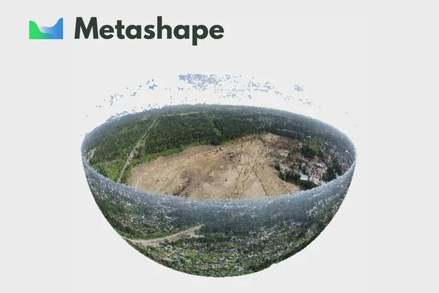
Agisoft Metashape is an advanced software that uses photogrammetric techniques to turn a series of images into 3D spatial data.
· 3 min read
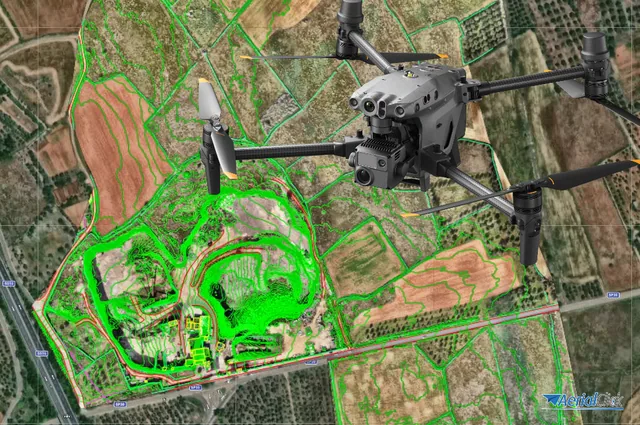
Ever since the first quadcopters on the market used only a GoPro as a payload to shoot video, without relying on a proper system of...
· 3 min read
🍪 Cookies on AerialClick
We use technical cookies, which are necessary for the site (cart, login). With your consent we also use marketing cookies (Meta) to measure campaigns and show you relevant ads. You can change your mind at any time from "Cookie preferences" at the bottom of the page. Cookie policy