


How to do photogrammetry without using drones
Terrestrial photogrammetry is the technique that allows you to acquire the metric data of an object relating to its shape and position.
· 3 min read
Here is how new technologies will reduce our time, costs and errors.
Mapping an area is not a simple task. It takes the right knowledge and equipment, as well as proper timing and allowance for the unexpected. Land mapping is an activity that requires precision, ingenuity and responsibility, since it is of great importance for urban planning, for the protection of cultural and environmental heritage, and for many other reasons.
Every innovation in mapping technique is an innovation at the service of the community.
Until a few years ago, mapping an archaeological area, for example, required hours and hours on site (even in bad weather), extremely expensive instruments, and slow, not always very precise calibrations. This past is actually very recent and, to tell the truth, many organisations and companies still map with traditional means.
Yet there are three reasons behind choosing to invest in the latest-generation methods, and they are:
1- Time
2- Costs
3- Accuracy
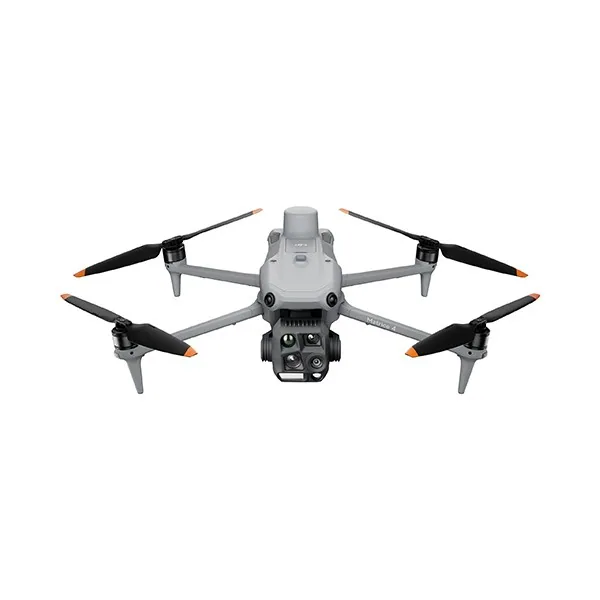
To carry out detailed mapping, for various purposes, in less time, the first tool bringing revolution and novelty is the aerial imaging device.
But not all aircraft are equal! For large areas, fixed-wing devices are ideal, while for small areas a multicopter is the best and most practical choice.
As already mentioned in a previous article, if the mapping takes several days, you must shoot every day at the same time with the same light. This avoids lighter and darker areas in the resulting orthophoto.
Certified devices able to quickly fly over entire areas, provided they are flown by experts holding the appropriate permits, can not only cut time but also help manage costs better.
Having fewer people on site and being able to work even when it is very hot or very cold (as long as there is not much wind) has a major impact on mapping and project costs.
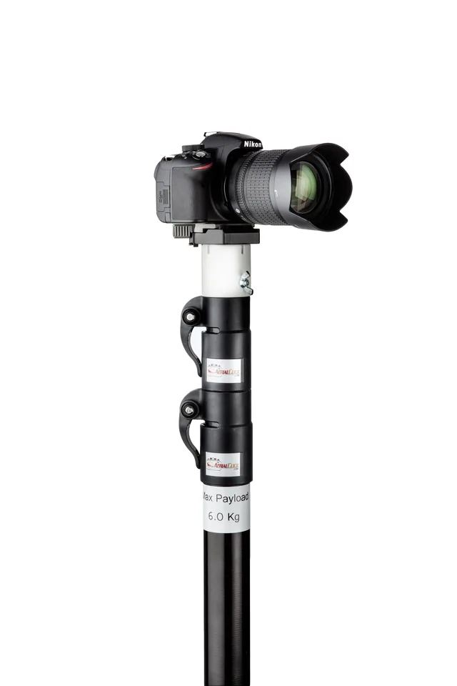
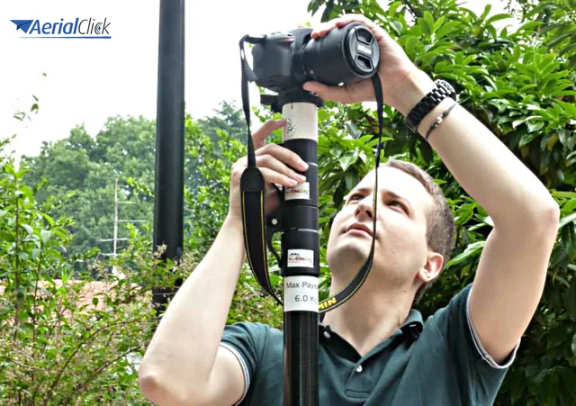
Mapping with aerial photography devices such as drones and gliders or telescopic poles also allows greater accuracy, but the devices must be connected to a camera able to take geotagged photos, with recorded GPS position and in time lapse.
Purchasing the equipment, along with training and certifications, may be an expense to weigh against short- and long-term earnings.
If you want information on the cost of a certified drone and of the pilot licence course, write to us, we are here for you.
Selected by our staff based on the topic of the article. Not sure which one to choose? Ask us for advice.

We help you choose the drone, sensors and software based on the job to be done, with training and after-sales support. We usually reply within one business day.
Terrestrial photogrammetry is the technique that allows you to acquire the metric data of an object relating to its shape and position.
· 3 min read
The potential of telescopic poles is enormous, but there is one tool that can multiply it fivefold! Many photographers and technicians working in the field of filming...
· 2 min read
A few years ago, mapping a more or less large area was extremely complex. It required hours and hours of presence on the construction site (even in the presence of...
· 2 min read
🍪 Cookies on AerialClick
We use technical cookies, which are necessary for the site (cart, login). With your consent we also use marketing cookies (Meta) to measure campaigns and show you relevant ads. You can change your mind at any time from "Cookie preferences" at the bottom of the page. Cookie policy