


Land mapping and photogrammetry: 3 reasons to innovate
Here is how new technologies will help us reduce time, costs and errors. Mapping an area is not a simple task.
· 2 min read
Terrestrial photogrammetry is the technique that makes it possible to acquire the metric data of an object relating to its shape and position. Until recently, it involved a particularly high cost, one strictly dependent on purchasing the special, sophisticated equipment needed to carry out such surveys.
In fact, for the most part, terrestrial photogrammetry has been developing in its aerial form, especially as regards topographic surveys of the territory.
However, the latter has very often had to deal with airspace restrictions.
To this limitation, another was added: it is really complicated to photograph certain parts of the object from above, and the risk is that the model may turn out incomplete.
To scan certain elements, there are simple, inexpensive and portable solutions that do not necessarily require the use of a drone and that do not call for special planning or permits.
Here is what we are specifically referring to.
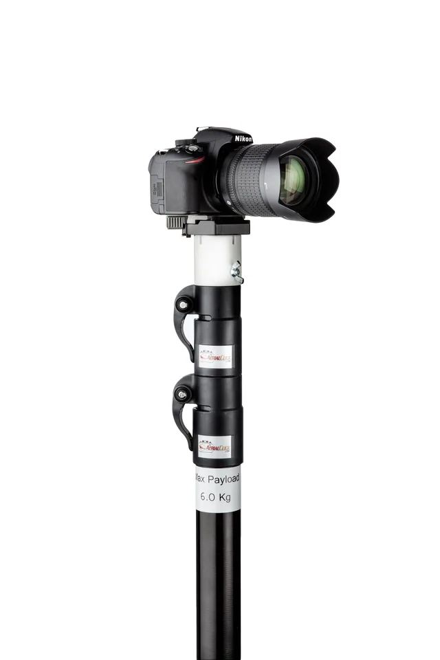
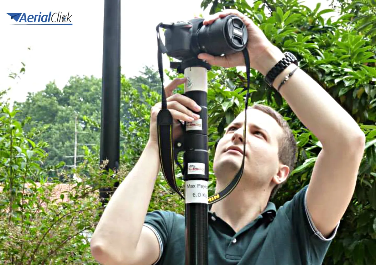
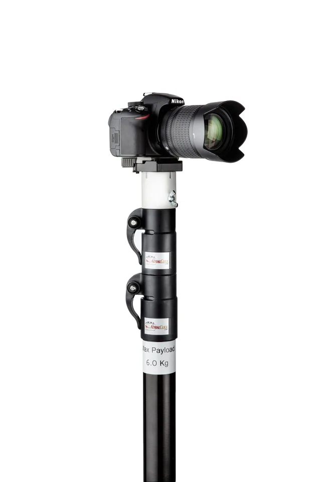
Many times, valid terrestrial photogrammetry can also be achieved by using a telescopic pole, which, under the best conditions of use, always guarantees impeccable photo quality.
The use of modern high-resolution digital cameras and digital photogrammetric systems has made terrestrial photogrammetry easier and has transformed it, making it increasingly accessible.
Where possible, it is of course recommended to use the telescopic pole from an elevated viewpoint, which offers the advantage of being able to "see" over low obstacles, such as walls, vehicles, or even vegetation, thus greatly increasing the number of elements accessible to this tool.
Sometimes nothing is as important as perspective. The goal of many photographers is often to find one that nobody else has found and to capture things from unusual and penetrating points of view.
The most practical way to obtain an exclusive and extraordinary aerial perspective is precisely to attach a camera to a telescopic pole. Although not trivial, it is not complicated either.
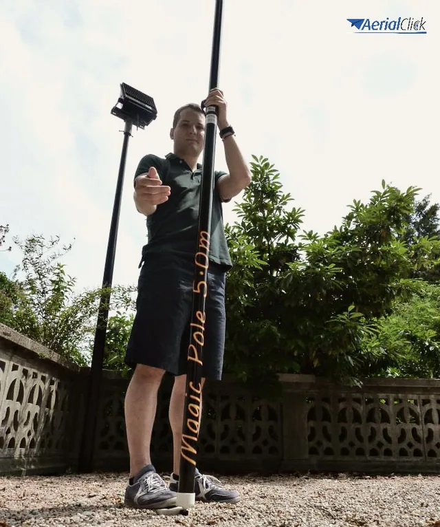
This device can extend to more than 15 meters in height and gives access to that "different" angle that no other photogrammetry tool has been able to capture.
Photos taken with 12-megapixel digital cameras can render a good extent of the scene and offer the customer good image quality.
The main intended use is for those places where aerial photography is too high and terrestrial photography is at an angle that does not allow us to see everything we want to see.
The telescopic pole can also be used for terrestrial photogrammetry in the field of architecture.
In this regard, it can also be considered that a pair of images can be acquired with a "high" and "low" position of the camera instead of only left and right.
But that's not all: using the telescopic pole makes it possible to capture images from several meters up, without using heavy ladders, on many different occasions.
Among these:
The telescopic pole is a particularly practical and easy-to-use support system; it takes only a few steps to assemble and disassemble it.
Easy to transport and set up, it delivers very good results in the field of terrestrial photogrammetry with photos captured from every angle.
It is well known that a little elevation transforms an image.
In conclusion, the telescopic pole is truly a tool that lets you obtain breathtaking images without having to lift heavy equipment or use drones, and it also proves advantageous from an economic point of view.
Selected by our staff based on the topic of the article. Not sure which one to choose? Ask us for advice.
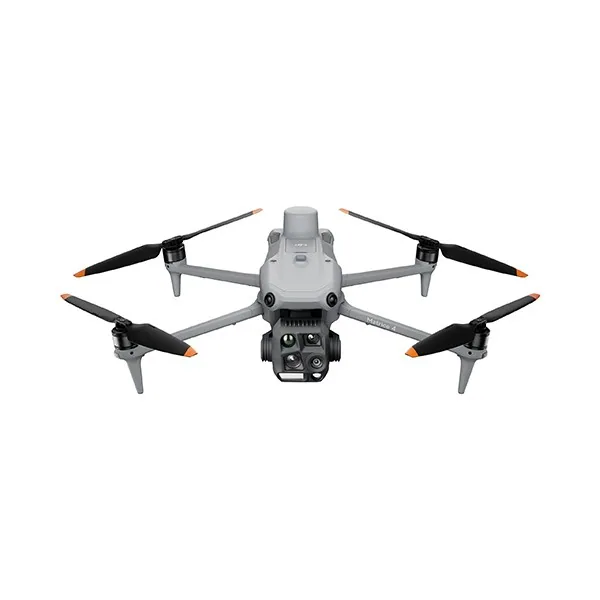

We help you choose the drone, sensors and software based on the job to be done, with training and after-sales support. We usually reply within one business day.
Here is how new technologies will help us reduce time, costs and errors. Mapping an area is not a simple task.
· 2 min read
The potential of telescopic poles is enormous, but there is one tool that can multiply it fivefold! Many photographers and technicians working in the field of filming...
· 2 min read
Ever since the first quadcopters on the market used only a GoPro as a payload to shoot video, without relying on a proper system of...
· 3 min read
🍪 Cookies on AerialClick
We use technical cookies, which are necessary for the site (cart, login). With your consent we also use marketing cookies (Meta) to measure campaigns and show you relevant ads. You can change your mind at any time from "Cookie preferences" at the bottom of the page. Cookie policy