


How to do photogrammetry without using drones
Terrestrial photogrammetry is the technique that allows you to acquire the metric data of an object relating to its shape and position.
· 3 min read
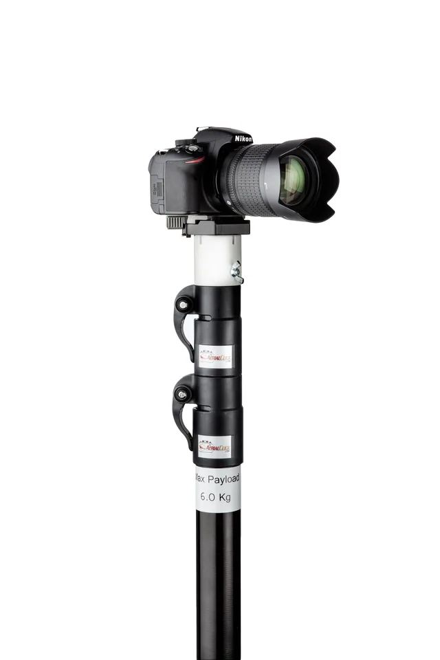
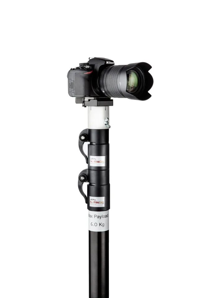
The potential of telescopic poles is huge, but there is one tool that can multiply it fivefold!
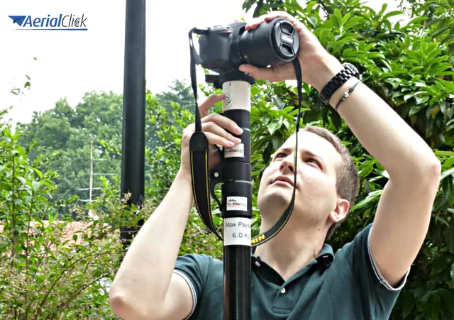
Many photographers and technicians working in aerial filming and photogrammetry have discovered the features and practicality of telescopic poles.This article is aimed at them and at everyone who wants to make the best use of this affordable and easy-to-handle tool, increasing its potential and performance.
With one tiny tool it is in fact possible to widen the field of view, take 360-degree panoramic photos, not lose a single centimetre of height regardless of the camera's position, and much more. This tool is the swivel head!
Let's get to know it together: it is a small extra piece, made in different materials. At Aerialclick we offer one in plastic and metal, which combines sturdiness with versatility and adds almost no weight to our Magic Pole at any extension level.
1 - With it you can keep the telescopic pole in a vertical position, tilting only the framing so that your images are always level.
2 - It lets you take 360° burst photos, giving a video or photo result that goes beyond a simple panorama.
3 - This small extra tool lets you take photos even just a few cm from the base of the telescopic pole, allowing you to capture images with maximum verticality.
4 - This way you can also avoid tilting the telescopic pole and losing precious centimetres of height.
5 - With the swivel head you can take photos from the same height (and the same spot) while only tilting the camera remotely. In short, even the physical effort, already minimal in itself, is reduced even further!
Has anyone of you tried it? Are there other advantages (or any drawbacks) you would like to tell us about?
Selected by our staff based on the topic of the article. Not sure which one to choose? Ask us for advice.
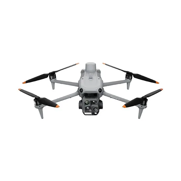

We are an authorised DJI reseller and carry the main professional brands: we will advise you with no obligation, also on WhatsApp.
Go to the shop
Terrestrial photogrammetry is the technique that allows you to acquire the metric data of an object relating to its shape and position.
· 3 min read
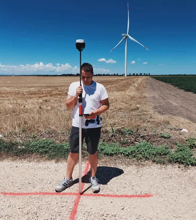
Here is how new technologies will help us reduce time, costs and errors. Mapping an area is not a simple task.
· 2 min read
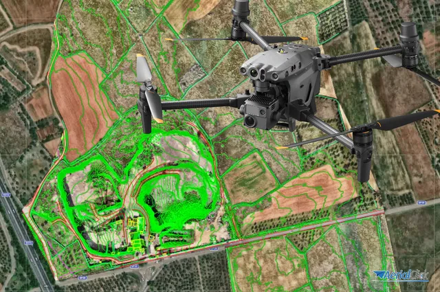
Ever since the first quadcopters on the market used only a GoPro as a payload to shoot video, without relying on a proper system of...
· 3 min read
🍪 Cookies on AerialClick
We use technical cookies, which are necessary for the site (cart, login). With your consent we also use marketing cookies (Meta) to measure campaigns and show you relevant ads. You can change your mind at any time from "Cookie preferences" at the bottom of the page. Cookie policy