
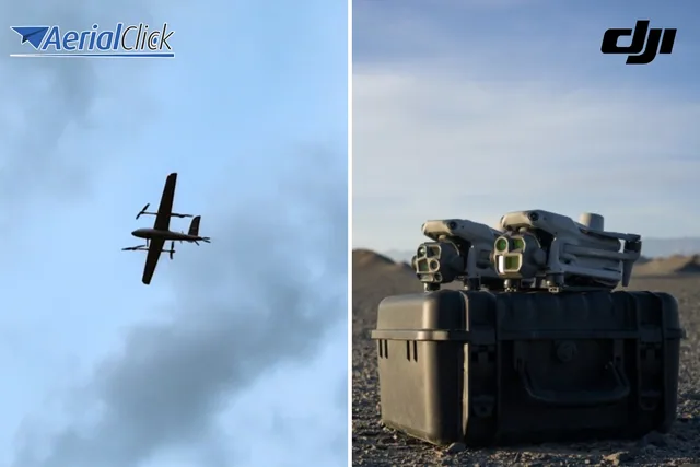
Swallow VTOL vs. professional quadcopters: which is the strategic choice for your business?
In recent months, Aerialclick has introduced an important novelty in the world of professional drones: the Swallow VTOL .
· 4 min read
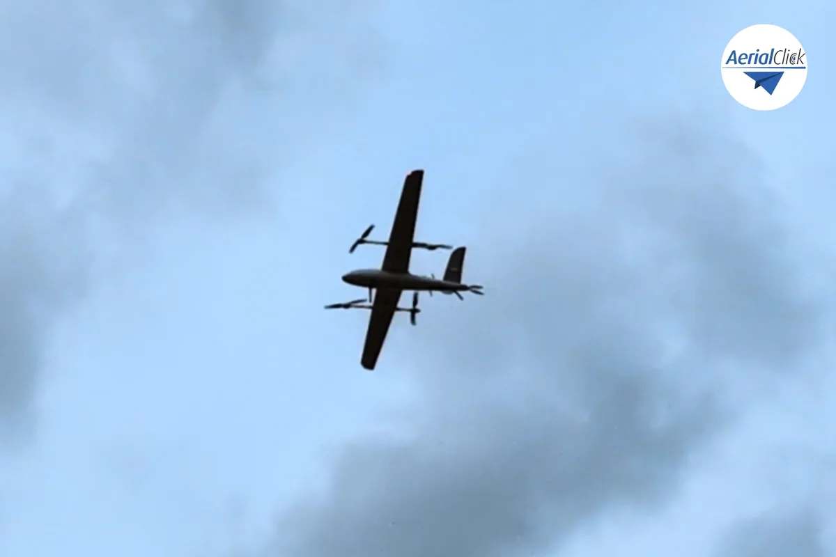
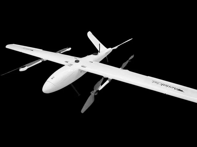
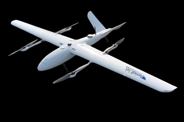
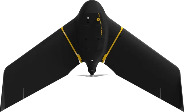
The Swallow VTOL, developed and built by Aerialclick, is a next-generation drone designed for professional applications in photogrammetry, thermography and precision agriculture.
Thanks to its VTOL (Vertical Take-Off and Landing) configuration, it combines the versatility of vertical takeoff and landing with the aerodynamic efficiency of fixed-wing flight, guaranteeing high performance over long distances and in complex environments. Its advanced technology, combined with wide compatibility with professional sensors and cameras, makes it an essential tool for a multitude of sectors.
The drone is now officially available: you can contact us at any time for more information!
Fields of application
Photogrammetry and Surveying – Enables the creation of detailed orthophotos and 3D models, thanks to compatibility with 26 MP, 42 MP and 61 MP cameras. Thanks to the aerodynamic efficiency of the fixed-wing configuration and a flight endurance of up to 2 hours, it can cover vast areas in a short time. It is ideal for topographic surveys, monitoring of areas subject to hydrogeological instability, volumetric calculation in quarries and mines, and support for plant design, offering fast, accurate and efficient data collection even on complex or hard-to-reach terrain.
Thermography and Technical Inspections – Thanks to the integration of various thermal cameras, for example 640x512 px, it enables the detection of thermal anomalies and energy losses, optimizing the monitoring of plants and infrastructure, allowing targeted and timely interventions and maximizing efficiency and productivity. It is used for inspections of photovoltaic and electrical installations, identification of heat loss in industrial infrastructure, and detection of fires or water leaks in hard-to-reach areas.
Precision Agriculture – The use of multispectral sensors such as Micasense Altum PT and Sentera 4X allows advanced and detailed analysis of vegetation, enabling the calculation of vegetation indices and identifying water stress, nutrient deficiencies and crop diseases. The data collected make it possible to optimize irrigation and improve agricultural yield, contributing to more sustainable resource management.
Security and Surveillance – Thanks to a flight endurance of up to 2 hours and support for different types of trackers, it is used for monitoring critical infrastructure, surveillance of large areas, territorial control, and search and rescue operations. The ability to operate in difficult conditions and cover vast areas in a short time makes it an effective solution for emergency and public safety operations.
Selected by our staff based on the topic of the article. Not sure which one to choose? Ask us for advice.
We are an authorised DJI reseller and carry the main professional brands: we will advise you with no obligation, also on WhatsApp.
Go to the shop
In recent months, Aerialclick has introduced an important novelty in the world of professional drones: the Swallow VTOL .
· 4 min read
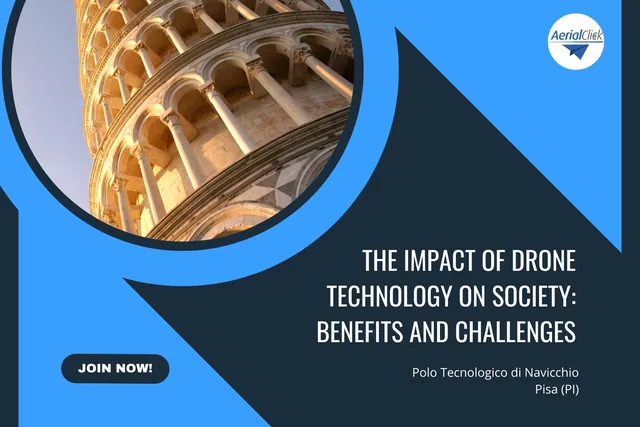
In this article we will explore how drones are transforming various sectors and analyse the challenges and opportunities linked to their adoption.
· 4 min read
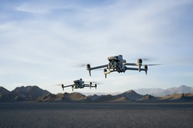
Autel Evo Max 4T, DJI Matrice 4E and DJI Matrice 4T are today three of the most advanced solutions in the enterprise drone landscape.
· 3 min read
🍪 Cookies on AerialClick
We use technical cookies, which are necessary for the site (cart, login). With your consent we also use marketing cookies (Meta) to measure campaigns and show you relevant ads. You can change your mind at any time from "Cookie preferences" at the bottom of the page. Cookie policy