
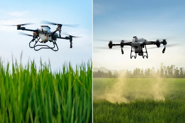
Earning with photogrammetry: which is the best drone to invest in?
Photogrammetry is a technique that, through the analysis of aerial photographs, allows you to reconstruct surfaces and objects in 3D, providing topographic data...
· 4 min read
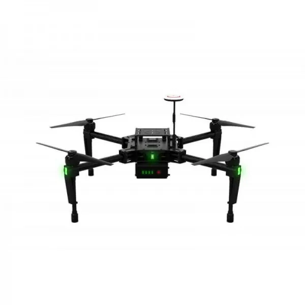
It is plain for all to see that drones have recently changed many aspects of our lives, but it is in photogrammetry that the drone has proved to be a true revolution.
These small flying machines make it possible to map any area in a few minutes, instead of days or even weeks, as was the case before.
But that's not all: the advantages of using topographic surveys with latest-generation drones are many more.
It is worth going over them before suggesting the most useful methods to carry out photogrammetry at its best.
Through a drone topographic survey it is possible to obtain, in real time and with the appropriate equipment, centimetre-level positioning with better precision in the image metadata.
Moreover, such equipment is accessible even to less experienced users, to those who perhaps use the drone simply as a hobby, thus making it possible to obtain the necessary accuracy for surveying a photographic map or a 3D model with complete ease.
These are particularly important aspects in this sector, where precision makes the difference. In a topographic survey with cutting-edge drones, in fact, the degree to which absolute accuracy approaches relative precision is determined by the overall quality of the photogrammetric process as well as by the precision of the ground control points.
Measuring the various control points in the field, in addition to the ground control points, makes it possible to calculate the accuracy of the model.
Drones are highly technological machines.
To this we add that the equipment fitted to them, namely cameras, GPS and software, is increasingly refined, enabling solutions that would otherwise be unthinkable in topographic surveying.
These ensure not only flight safety, but also data collection of the highest precision, to be used in complex surveying, mapping and inspection work.
Let's look at a few solutions for carrying out drone photogrammetry at its best:
Drone photogrammetry for architecture with a GPS system. Using a drone for architecture allows us to capture the details and beauty of a structure that are often not visible from ground level. To achieve these results, models with a very simple structure are used, equipped with a camera and a GPS system that allows the flight path to be recorded.
In photogrammetry, drones offer us a new point of view, a representation of the environment both already built and yet to be built, making it possible to reveal components that can often be overlooked in traditional design work. It is no coincidence that, according to some estimates, among the largest sectors in which drones will be used over the next five years, construction will play a major role.
In the field of drone topographic surveying, thanks also to the evolution of software, it is possible to combine a series of photographic, thermal and metric data, allowing designers to work directly on the structures whose every characteristic they wish to know.
Drone photogrammetry with thermal cameras. Integrating thermography into drones with UAS platforms equipped with thermal cameras makes it possible to carry out inspections of power and telephone lines, solar panels, roofs and buildings, as well as thermal maps of land areas. The thermal sensors installed on drones are the latest technological advance and better complement aerial thermography.
Photogrammetry with laser scanners. This instrument makes it possible to survey an object in its three dimensions. The laser scanner measures the positions of points on the objects present at the site. In the architectural field it is by far the most advanced technology.
Digital photogrammetry. This is a relevant technique that allows obtaining a series of metric and geographical information of three-dimensional objects through the processing of photographic images.
As is well understood, drone photogrammetry is certainly one of the most precise and reliable techniques for acquiring land data. The application to drones allows to obtain architectural surveys of buildings and structures for the creation of 3D models ... in short, what was once the future is now the present.
Feb 17, 2015
Oct 21, 2014

Aug 19, 2014
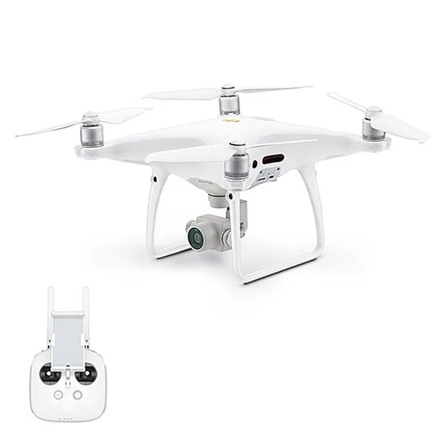
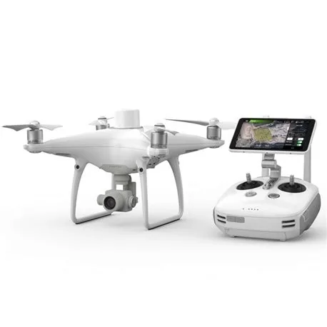
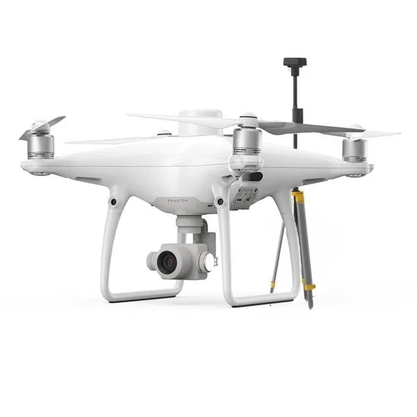
Selected by our staff based on the topic of the article. Not sure which one to choose? Ask us for advice.
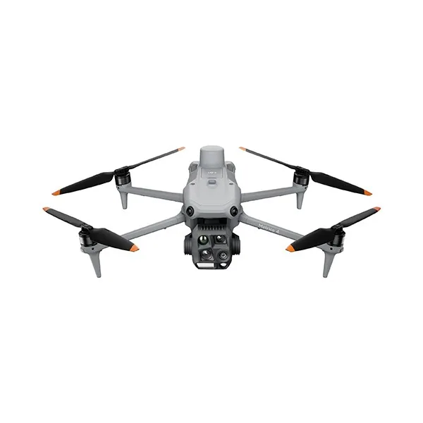
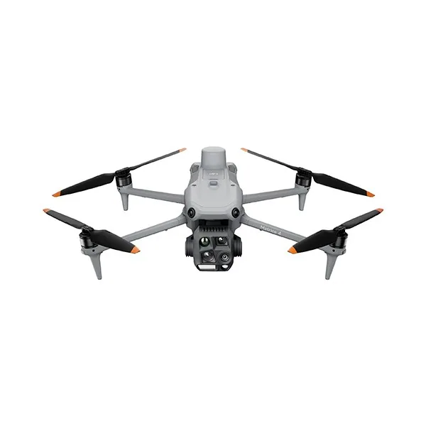
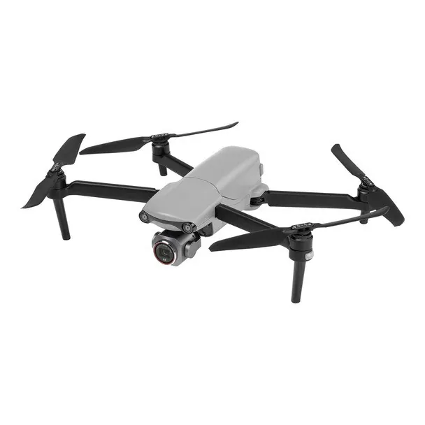
We help you choose the drone, sensors and software based on the job to be done, with training and after-sales support. We usually reply within one business day.
Photogrammetry is a technique that, through the analysis of aerial photographs, allows you to reconstruct surfaces and objects in 3D, providing topographic data...
· 4 min read
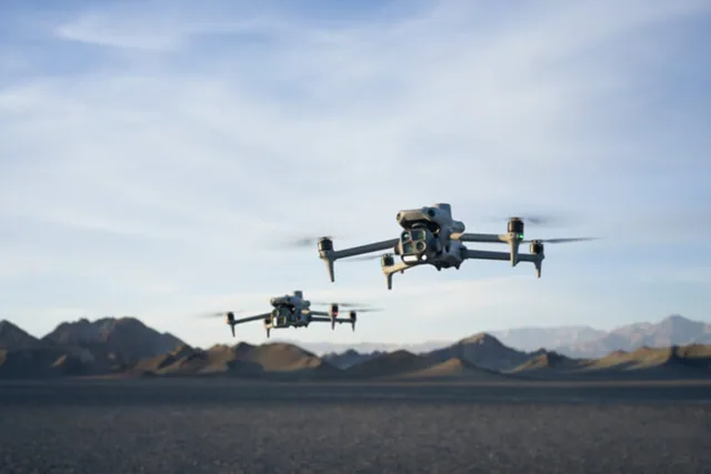
Autel Evo Max 4T, DJI Matrice 4E and DJI Matrice 4T are today three of the most advanced solutions in the enterprise drone landscape.
· 3 min read
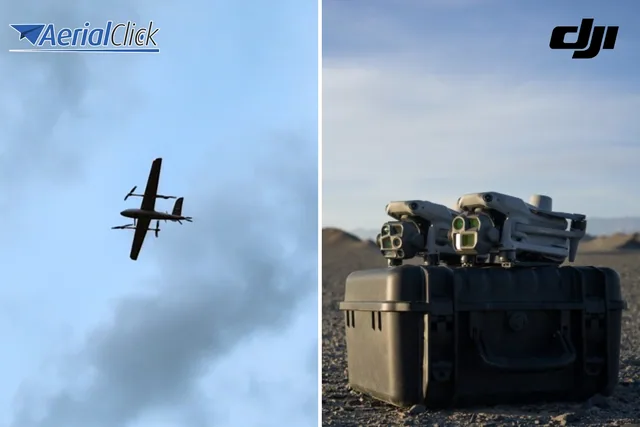
In recent months, Aerialclick has introduced an important novelty in the world of professional drones: the Swallow VTOL .
· 4 min read
🍪 Cookies on AerialClick
We use technical cookies, which are necessary for the site (cart, login). With your consent we also use marketing cookies (Meta) to measure campaigns and show you relevant ads. You can change your mind at any time from "Cookie preferences" at the bottom of the page. Cookie policy