
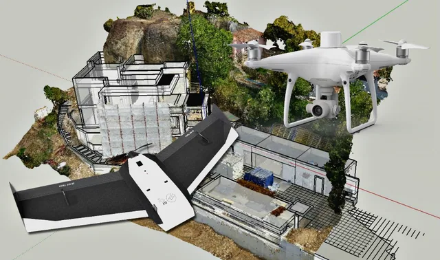
Fixed wing or quadcopter? How to make a wise and informed choice
For those outside the industry, the term “drone” covers all types of latest-generation flying machines, with no real distinction between...
· 3 min read
Archive article. Article from 2020: the Mavic Air 2 is no longer in production. The equivalent model today is the DJI Air 3S; for professional photogrammetry we recommend the DJI Matrice 4E. Discover the DJI Matrice 4E
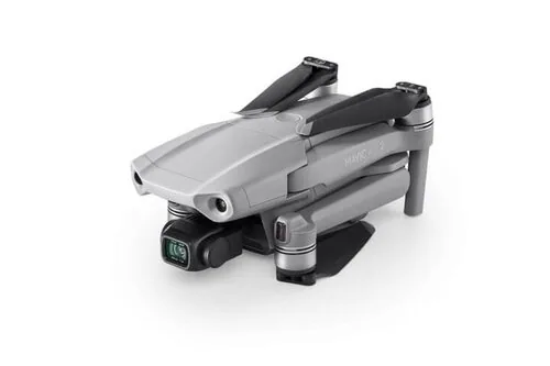
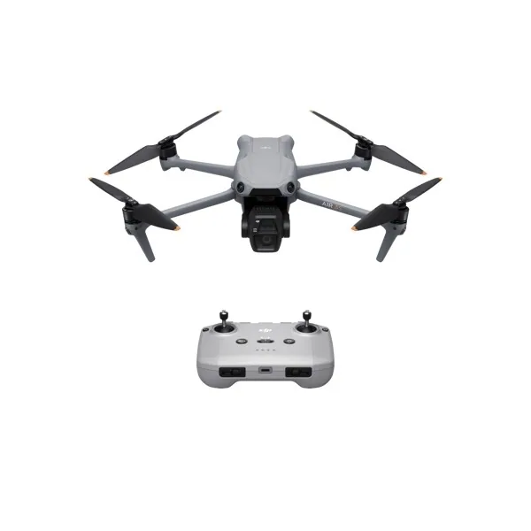
This week, DJI announced its latest drone, the Mavic Air 2. It has an impressive list of features and technical specifications, including a 48 MP camera, 34 minutes of flight time and top-level video transmission.


The short answer is no, this is not a good drone for land surveying.
It is an excellent drone for personal photos and videos, but its specifications, although impressive, add no advantage for surveyors, and the features surveyors care about will be better served by other aircraft such as the Phantom 4 series of drones.
The drones we recommend are designed to collect data for creating a topographic or planimetric survey using photogrammetry.
At first glance, the most impressive feature of the Mavic Air 2 is its 48 MP camera, however this is a bit misleading, and it is certainly not an improvement over the 20 MP sensors on the Phantom 4 or Mavic 2 drones.
This drone uses a ½" CMOS sensor, which has only 25% of the sensor surface area of larger drones such as the Phantom 4 series, which have 1" sensors. This further reduces the sharpness and overall quality of the images, even though the raw "megapixel" count is higher.
The Mavic Air 2's camera is extremely impressive for its size and it would make an excellent personal drone. However, when it comes to photogrammetry, the camera quality is not as good as that of other products on the market and it should be avoided for photogrammetry applications where accuracy is essential.


If you want to use the Mavic Air 2 for surveying, the answer is "better not". Drones such as the Phantom 4 Pro v2 and the Phantom 4 RTK will offer significantly better accuracy than the Mavic Air 2. Below, we have ranked some of the most common drones by their overall quality in high-precision surveying applications.
Phantom 4 Pro V2.0
Mavic 2 Pro
A combination of image quality and geolocation makes the Phantom 4 series far superior to any Mavic.
Overall, the new Mavic Air 2 is a fantastic drone equipped with fantastic sensors and is well designed for its purposes. However, photogrammetry is not its purpose and it is NOT a good drone for Land Surveying.
Jun 27, 2018
Aug 31, 2017
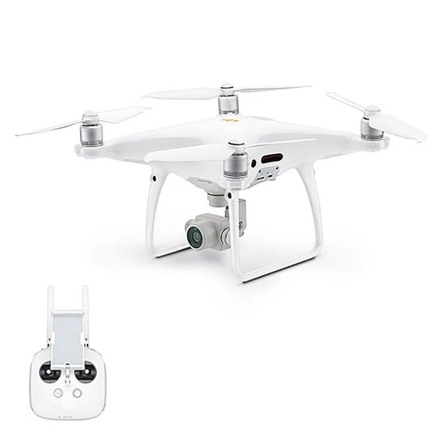
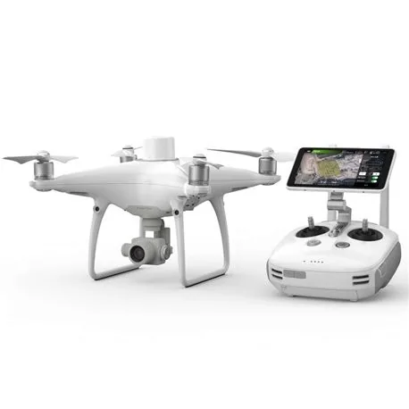
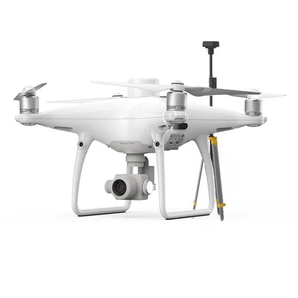
Selected by our staff based on the topic of the article. Not sure which one to choose? Ask us for advice.
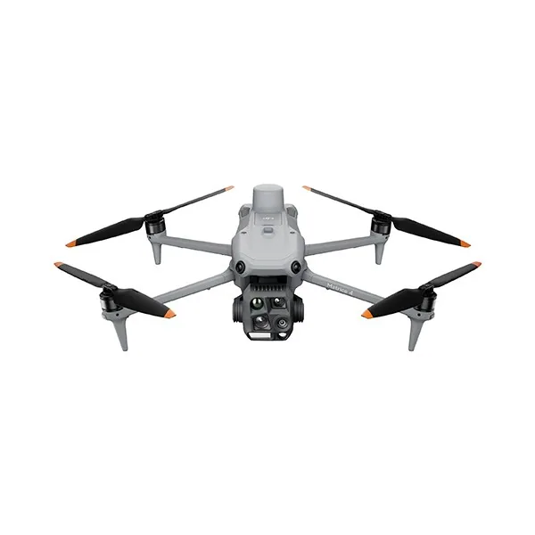
We help you choose the drone, sensors and software based on the job to be done, with training and after-sales support. We usually reply within one business day.
For those outside the industry, the term “drone” covers all types of latest-generation flying machines, with no real distinction between...
· 3 min read
Ever since the first quadcopters on the market used only a GoPro as a payload to shoot video, without relying on a proper system of...
· 3 min read
The development of specialized software applications has made it possible to tackle and solve complex problems concerning the automation and optimization of many...
· 3 min read
🍪 Cookies on AerialClick
We use technical cookies, which are necessary for the site (cart, login). With your consent we also use marketing cookies (Meta) to measure campaigns and show you relevant ads. You can change your mind at any time from "Cookie preferences" at the bottom of the page. Cookie policy