
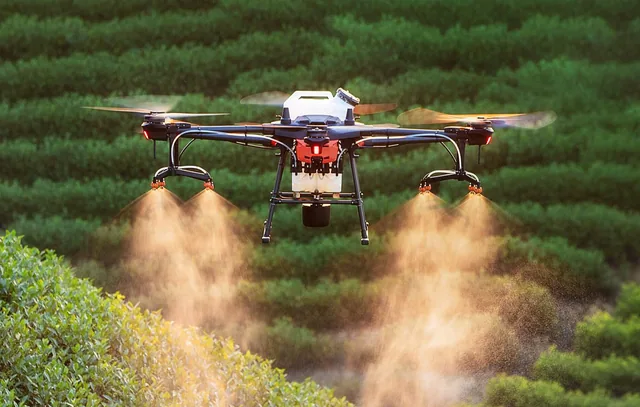
The 3 rules for perfect agricultural mapping
How next-generation engineers and agronomists can map their land and enhance their harvest.
· 3 min read
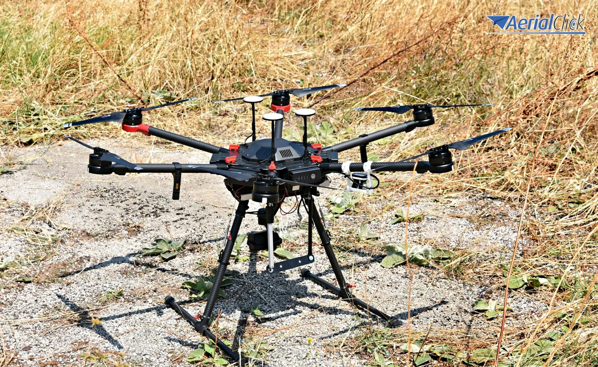
How the use of multicopters will improve the quality of wine and farm produce.
For several years now, there has been a strong trend of young people returning to the countryside and to working the land. Only a superficial analysis could suggest that this depends on the economic crisis and the crisis in the service sector.
In reality, the under-45s investing in agronomy and oenology are driven mainly by three factors:
Speaking of the latter, it is no coincidence that more than 20% of young entrepreneurs in the agricultural or wine sector are not agronomists but economists and engineers. In fact, those who study, know and follow the very fast technological developments are in step with their income potential.
Together with the new software for monitoring crop quality, civilian drones are also among the technologies that will help agricultural production in the coming years, and in particular the grape harvest and wine production.
Not all areas of a plantation are exposed to sun and wind in the same way, especially when we are talking about large plots. So, first of all, by using a drone connected to an infrared camera capable of capturing detailed footage, it is possible to directly identify the areas of the land, and therefore the vines, that need more irrigation.
The same applies to the identification of parasitic agents, and small or large signs of distress in the plants (in the case of vines, for example, a different colour intensity in the leaves can be a sign of insufficient irrigation or of the presence of harmful bacteria, which can be treated in a targeted way and not by blanket spraying, as in the past).
All of this results both in savings on pesticide purchases and water consumption, and in a better quality final product, less stressed and altered.
Furthermore, the use of multicopters in agricultural areas is subject to fewer restrictions under ENAC regulations. It's a bit like saying that drones should serve economic development first and, only secondly, hobbies and fun.
Over the next ten years, every time you enjoy a good glass of wine, raise a toast to multicopters and to those who invest in these new technologies!
We help you choose the drone, sensors and software based on the job to be done, with training and after-sales support. We usually reply within one business day.
How next-generation engineers and agronomists can map their land and enhance their harvest.
· 3 min read
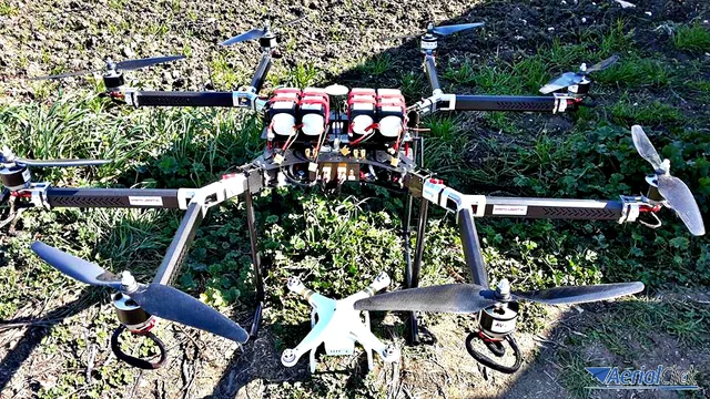
How drones can be a green aid for the primary sector In the past, robots and technology have been a factor in distancing human beings...
· 3 min read
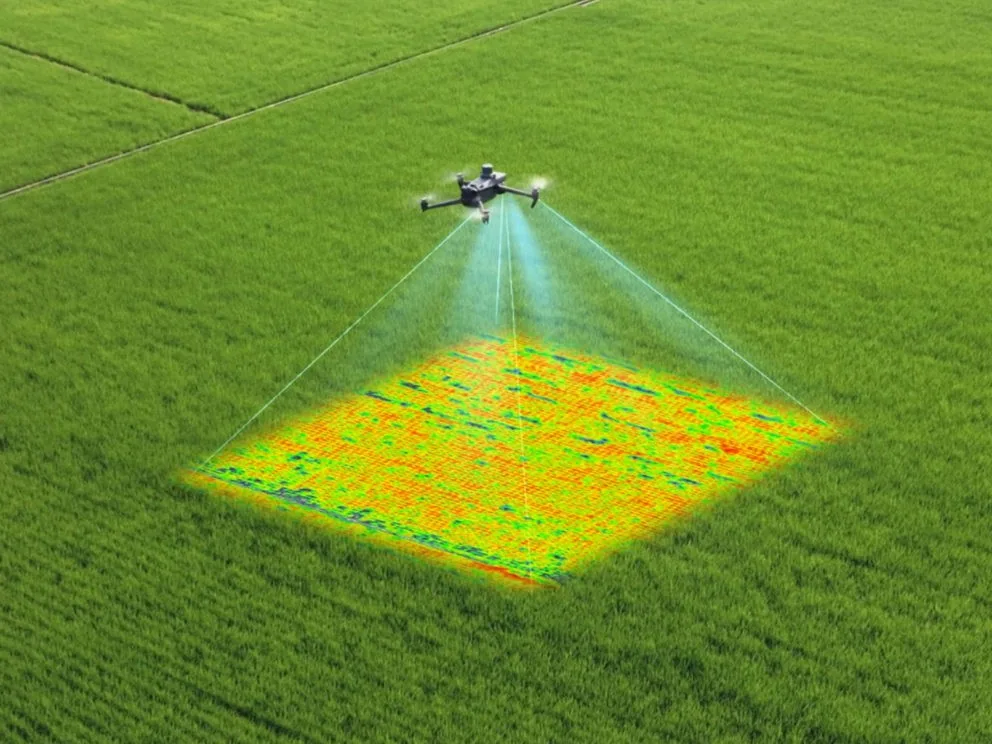
From NDWI index analysis to targeted interventions with agricultural drones: how technology can help prevent damage caused by water shortage.
· 3 min read
🍪 Cookies on AerialClick
We use technical cookies, which are necessary for the site (cart, login). With your consent we also use marketing cookies (Meta) to measure campaigns and show you relevant ads. You can change your mind at any time from "Cookie preferences" at the bottom of the page. Cookie policy