
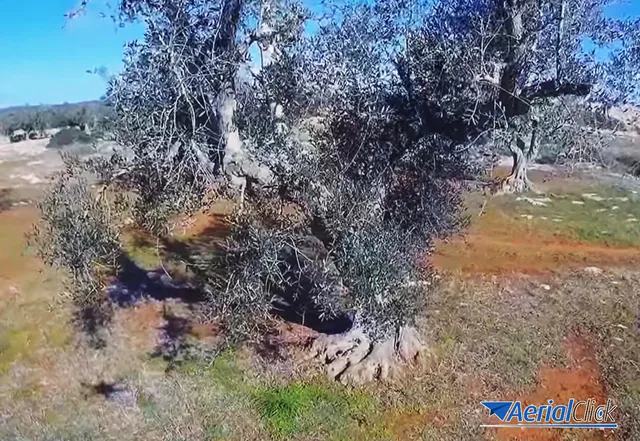
Caring for centuries-old olive trees with 3 modern and ancient methods
As promised in the previous article, we continue to say something about Xylella and the eradication plan for infected centuries-old olive trees.
· 4 min read
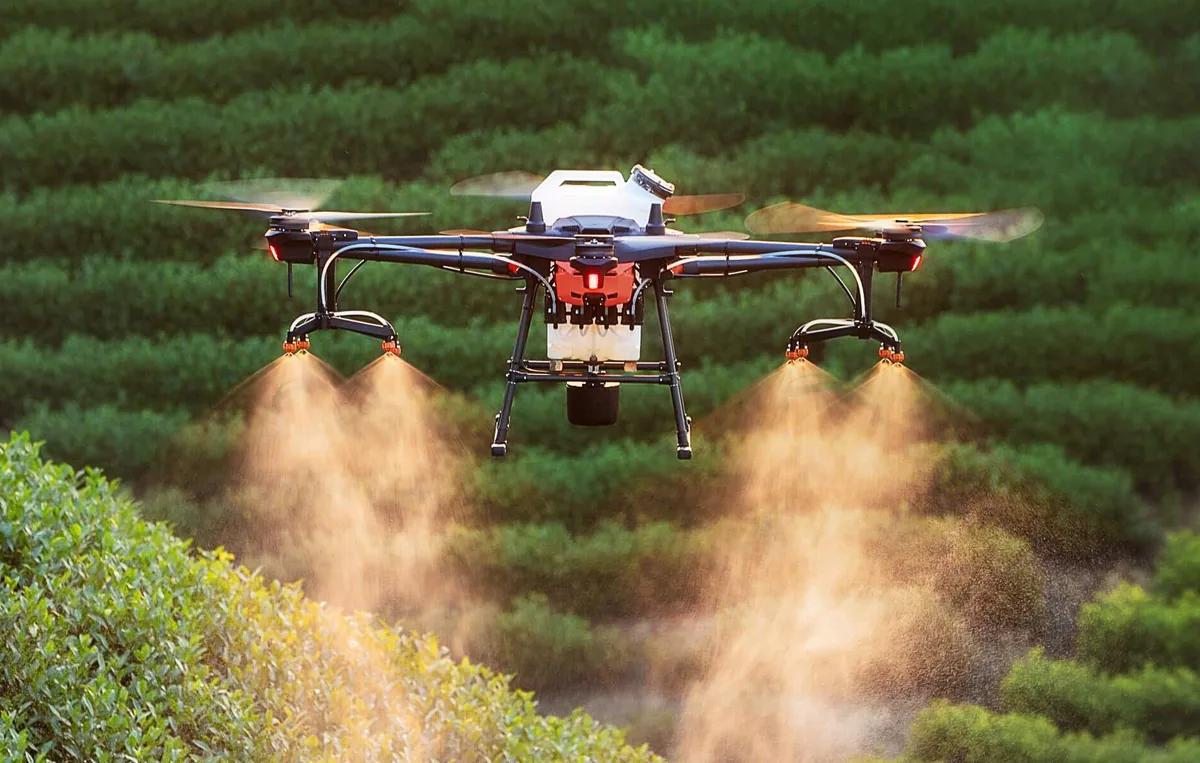
How next-generation engineers and agronomists can map their land and enhance their harvest.
We recently talked about how and why we are experiencing a rational, concrete and intelligent return to the primary industry and above all we talked about the usefulness of the new mapping tools, not to "exploit", but to enhance and best grow a crop.
Now we will look together at the three important rules to remember in order to carry out effective and efficient mapping of agricultural areas.
Just as a scholar carrying out research of any kind (anthropology, science, biochemistry, etc.) must have an idea from the outset of the results they want to obtain and of what they want to discover. Then, over the course of the study, a thousand new potential "discoveries" may come to light, but like every sailor you need a course in order to navigate well.
Mapping is no exception, least of all the mapping of agricultural land, above all because it is generally mapped for very specific purposes: finding the more problematic areas of the land that will need more care, finding areas that need more fertiliser and those that are already sufficiently rich, detecting potential sources of danger coming, for example, from pesticides used in nearby areas, etc.
The first things to do are therefore:
To put point 1 into practice in the best way, you need to collaborate and draw up an action plan with the grower of the plot. The same goes for point 2. In fact, you have to rely on the grower's knowledge of their plants and their harvest, asking them, for example, what the main problems with the harvest have been over the last 10 years.
If the mapping is carried out by a member of the farm itself rather than an engineer brought in from outside, it is even easier.
How can a farmer map their own areas and get to know them better? With the new technologies of drones and information technology, it can be done. Pay attention to border areas, and avoid pylons and high-risk zones!
Agronomists and farmers of the latest generation are already familiar with many of the technologies that help agriculture, such as the new fertiliser spreaders or variable-rate irrigation systems.
Thanks to the innovations in the world of drones they can now also learn to map their own plots and define their needs. Whether you are a technician, engineer or surveyor carrying out work and consulting in the field of mapping, or a farmer or agronomist who wants to learn to do all of this yourself, it is now essential to know and work with drone technology and GPS systems and with programs such as Aps Menci, which lets you have a 3D map of the area on your own PC, with photogrammetric spectral detection of areas with anomalies.
What's more, from one year to the next it is possible, with a simple 'drone flight', to quickly repeat the experiment and detect changes over limited periods.
Since agricultural areas are considered non-critical by ENAC (unless you are flying in a controlled airspace zone), it is even desirable for younger agronomists, or even those still attending an agricultural school, to take a course to become ENAC-certified drone pilots and offer this mapping service to their own farm or to the ones they will go on to work for.
It is truly something unique and competitive to have on your CV as an agronomist.
Write to us to find out more.
Selected by our staff based on the topic of the article. Not sure which one to choose? Ask us for advice.
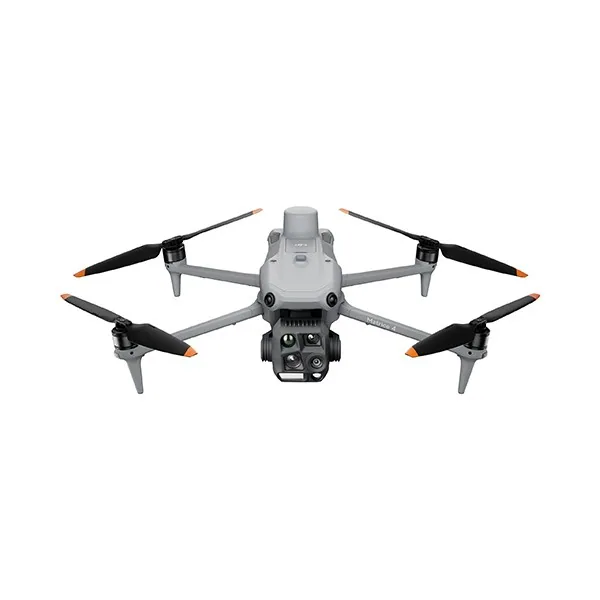



We help you choose the drone, sensors and software based on the job to be done, with training and after-sales support. We usually reply within one business day.
As promised in the previous article, we continue to say something about Xylella and the eradication plan for infected centuries-old olive trees.
· 4 min read

In this article we will explore how drones are transforming various sectors and analyse the challenges and opportunities linked to their adoption.
· 4 min read
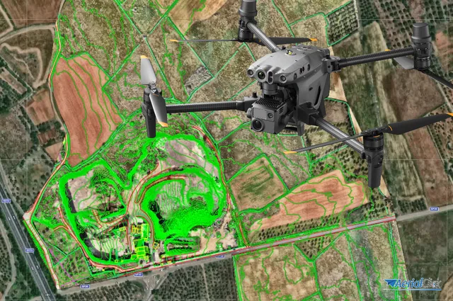
Ever since the first quadcopters on the market used only a GoPro as a payload to shoot video, without relying on a proper system of...
· 3 min read
🍪 Cookies on AerialClick
We use technical cookies, which are necessary for the site (cart, login). With your consent we also use marketing cookies (Meta) to measure campaigns and show you relevant ads. You can change your mind at any time from "Cookie preferences" at the bottom of the page. Cookie policy