
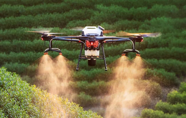
The 3 rules for perfect agricultural mapping
How next-generation engineers and agronomists can map their land and enhance their harvest.
· 3 min read
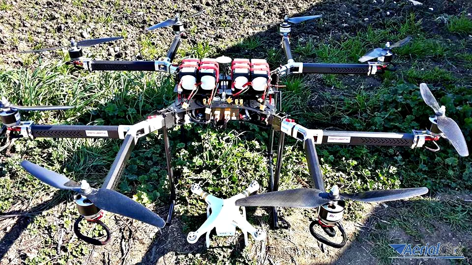
How drones can be a green aid for the primary sector
In the past, robots and technology were a factor that drew people away from farming.
After the industrial revolution and the boom of the service sector, the West but also many Asian countries saw periods of exodus from the countryside and decades of crowded factories and, later, offices.
But sooner or later the land calls us back. It is even easier to follow that call after a period of deep industrial recession that has put our feet back on the ground. Or rather, in the soil.
However, today is not like it used to be, and farms must (and fortunately can) rely on innovation to increase production. And today one of these innovations is called the "drone", an intelligent aerial vehicle able to pair the drones-land duo with the innovation-environmental protection duo.
Let's see how and why.
One of the main and legitimate concerns of consumers, including those who buy directly from farmers, is the use of herbicides and pesticides, which until now have been indispensable to farmers and growers to avoid small outbreaks capable of ruining an entire harvest.
Today, by combining aerial technology with infrared photography, it is possible to assess the health of a crop with incredible precision (smart farming).
This makes it possible to identify stress conditions and act immediately at the root of the problem.
'Often,' says Chris Anderson, CEO of 3-D Robotics, 'pesticides are spread as a prophylactic measure, even when they could be avoided or applied only locally. Chemicals are released into the environment and into food because of the scarcity of data available to make decisions. When in doubt, people prefer to spray rather than lose the harvest."
Not every part of the crop, for any type of crop, needs the same amount of attention and fertiliser, even when it comes to natural fertilisers. Let's take a practical example: with a drone equipped with a precision infrared camera it is possible to detect an unevenness or colour difference in a specific (even very small) area of a vineyard's foliage. This can be caused by possible pathogens, water shortage, soil inconsistencies, etc. A drone can therefore identify such anomalies with a vigour analysis based on acquisitions made through image triangulation.
The drone can therefore also enable the constant analysis that guides agronomists throughout the crop optimisation process, from choosing treatments to apply only in specific areas rather than across the whole field, all the way to selective harvesting. This process is regulated by the entry into force of the new ENAC regulation, which makes it easier to use drones in agricultural areas, where operations are low-risk and defined as "non-critical".
"I want our farmers and food producers to have access to the widest possible range of technologies, from new applications of robotics and sensor technology to new LED lighting for greenhouses and broccoli that fights cancer." With these words, Owen Paterson, the British Secretary of State for Environment, Food and Rural Affairs, expressed, at the latest Oxford Farming Conference, the international intention to open the doors of innovation to small and medium-sized businesses as well.
Aerial photography in agriculture is not an entirely new field: until a few years ago, images were taken by aircraft equipped with special cameras or by satellites orbiting the Earth. The main limitations of these technologies are their high cost, which restricted their use to large-scale projects only, and atmospheric interference. The cost of a drone and a course on how to use it is an affordable investment even for farms of just a few hectares. The savings, and then the profits, come within a short time, not only for the farmer but also for the environment and for health.
See innovation from above.
See land from above.
See life from abve.
We help you choose the drone, sensors and software based on the job to be done, with training and after-sales support. We usually reply within one business day.
How next-generation engineers and agronomists can map their land and enhance their harvest.
· 3 min read
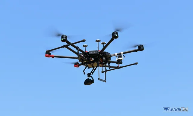
The drone in agriculture is certainly one of the most revolutionary innovations of recent years.
· 4 min read
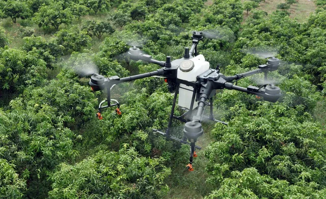
This is the year in which, from Italy to the rest of the world, we will hear about solutions for feeding the planet and, if possible, not making it ill (any more, again and once more).
· 4 min read
🍪 Cookies on AerialClick
We use technical cookies, which are necessary for the site (cart, login). With your consent we also use marketing cookies (Meta) to measure campaigns and show you relevant ads. You can change your mind at any time from "Cookie preferences" at the bottom of the page. Cookie policy