
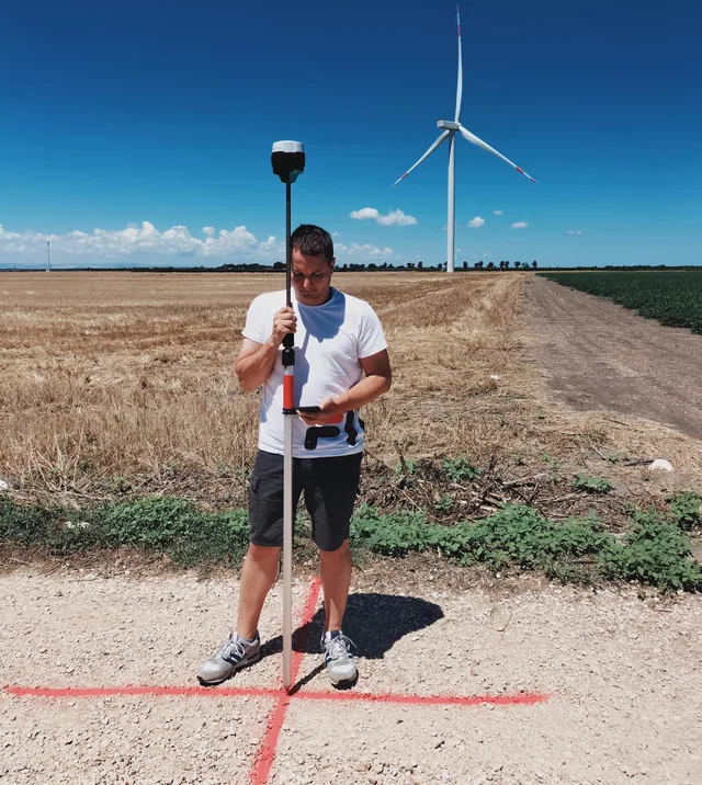
Land mapping and photogrammetry: 3 reasons to innovate
Here is how new technologies will help us reduce time, costs and errors. Mapping an area is not a simple task.
· 2 min read
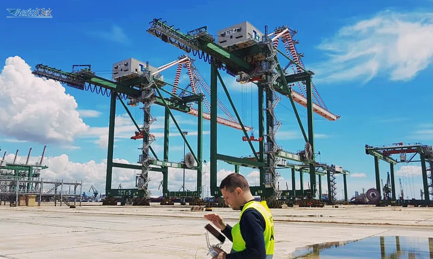
Dronics and land mapping: the points where economists, engineers, lawyers and surveyors meet and clash.
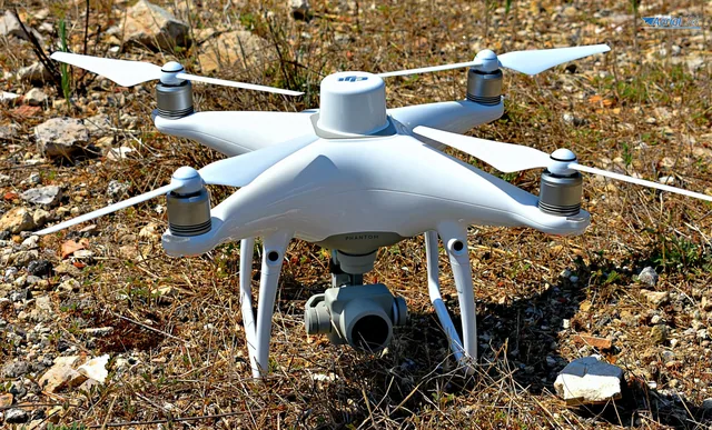
The prominent voices in the construction industry who describe drones as the main answer of the future for everything concerning land mapping now cross the borders of every country. This is no surprise, since remotely piloted aircraft make it possible to tile vast areas in a short time and carry out structural inspections, obtaining extremely precise DSM and DTM images. All this, with the advantage of being 'on site', virtually but with a real picture of the situation within minutes.
By taking photos from the drone in close sequences, perpendicular to the ground so as to obtain photogrammetric strips, and by using dedicated software, you obtain a rendering of the planimetric layout of the entire area as well as a faithful and detailed three-dimensional model.
However, precisely because of the transdisciplinary nature of RPAS (APR), the debate on their use, their potential and the problems related to them goes beyond the field of aerospace engineering and becomes a topic of discussion in various sectors.
Let's look together at some opinions on the use of drones in mapping for construction purposes and the protection of cultural heritage.
A very authoritative voice comes from the world of American business journalism, Chris Anderson, former editor-in-chief of Wired Magazine and one of the leading experts on the impact of advanced technologies on the economy. In 2009 his foresight led him to found a company, as it happens together with Jordi Muñoz, a very young but promising expert in unmanned flight technology. Together they began developing autopilot technologies; among their development teams were also several surveyors, who were able to offer important insights on how to solve certain problems in civil and archaeological mapping.
Also from the United States comes the opinion of Steve Wernke, an archaeologist at Vanderbilt University, who decided to use drones for the monitoring and mapping of delicate archaeological areas after seeing aerial photos taken by US pilots during the First World War.
Archaeology, in particular, has invested heavily in 3D mapping carried out with drones.
In Peru, home to the ancient Inca city of Machu Picchu along with thousands of ancient ruins, more and more archaeologists are working alongside engineers who know how to use drones to survey and protect the sites.
The activity is aimed not only at monitoring erosion and any dangerous natural agents, but also and above all at countering the deterioration caused by illegal builders, miners and disruptive tourists.
Peruvian archaeologists use drones to reproduce three-dimensional sites in production times reduced to days or a few weeks, instead of the months or years it took until a few years ago to produce simple two-dimensional maps. Ana Maria Hoyle, an archaeologist at the Ministry of Culture, has long argued that drones are now essential tools for the conservation of cultural heritage, and has already purchased aircraft that have drastically reduced the time and cost of mapping large excavation sites, once carried out with theodolites, charts and trekking on foot.
Luis Jaime Castillo, an archaeologist at the University of Lima, working on the excavations at the San José de Moro site, used this metaphor: “Mapping with a drone is like having a scalpel instead of a stick.”
All of this while facing various legislative and environmental problems: in Peru, the thin air typical of the Andes tends to cause stability problems for these small aircraft, while another major issue is the size of the batteries, which are large and short-lived. Then there are privacy issues, already regulated in the USA and in several European states, but not yet in Peru.
In Europe, many authoritative responses and actions come from Italy. In our country, engineers, surveyors and lawyers often need to work together with the institutions to deal with emergencies related to seismic areas, illegal construction and organised crime. But as often happens, necessity becomes a virtue and from this partnership come actions and projects like the one in the Ferrara area, where a detailed mapping of the Teatro Nuovo di Mirandola was obtained thanks to a hexacopter, after the damage caused by the 2012 earthquake.
Moreover, the new ENAC rules while on the one hand a limit on the use of these sophisticated devices, on the other have the advantage of regulating what risked becoming a real wild west.
Industry professionals can no longer ignore the importance of high-level training in the use of drones, which within a few years will be indispensable in a great many activities.
And you, what do you think? Can a drone change the way you work forever?
Selected by our staff based on the topic of the article. Not sure which one to choose? Ask us for advice.
We help you choose the drone, sensors and software based on the job to be done, with training and after-sales support. We usually reply within one business day.
Here is how new technologies will help us reduce time, costs and errors. Mapping an area is not a simple task.
· 2 min read
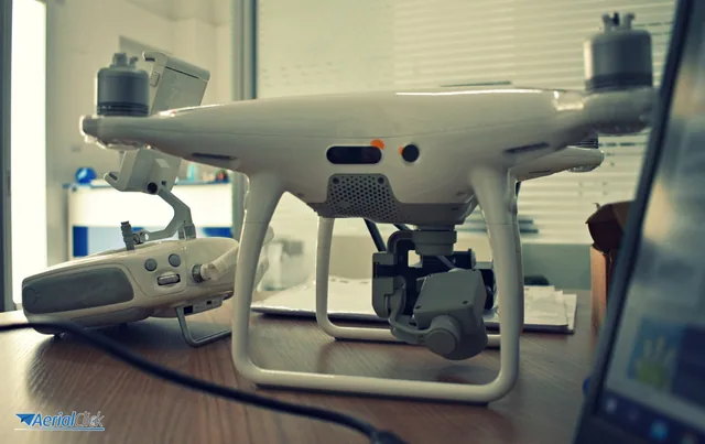
A few years ago, mapping a more or less large area was extremely complex. It required hours and hours of presence on the construction site (even in the presence of...
· 2 min read
As already mentioned in previous articles, drones lend themselves to a whole range of uses and are therefore a cross-cutting tool for a great many professions.
· 3 min read
🍪 Cookies on AerialClick
We use technical cookies, which are necessary for the site (cart, login). With your consent we also use marketing cookies (Meta) to measure campaigns and show you relevant ads. You can change your mind at any time from "Cookie preferences" at the bottom of the page. Cookie policy