
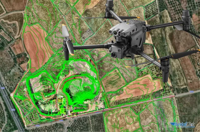
Processing software: is it necessary for a drone pilot?
Ever since the first quadcopters on the market used only a GoPro as a payload to shoot video, without relying on a proper system of...
· 3 min read
A technique born to evolve continuously
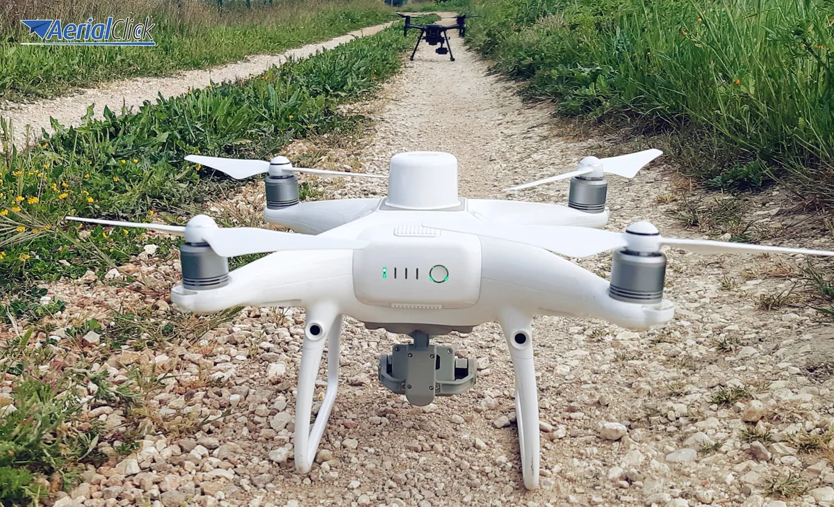
Photogrammetry, i.e. the acquisition of the shape and position (also known as metric data) of an object, be it a building or a territory, has been a technique subject to constant and rapid change from the very beginning. While initially this technique was used mainly in architecture, to determine the shape, dimensions and position of a given building through a pair of stereometric frames, the enormous potential of this technique soon shifted to the fields of cartography, topography and marine photogrammetry.
From the outset, photogrammetry seemed destined for continuous evolution, precisely because it was born thanks to the invention of structures and equipment subject to constant modification, improvement and refinement, as in the case of photography and optics, the two cornerstones around which photogrammetry arose and developed. In particular, every advance in the field of photography has had immediate consequences for photogrammetric technique.
Let's look together at the main technical developments that are bringing photogrammetry ever greater flexibility and further potential.
Photogrammetry is classified according to the type of shooting distance and the type of output data; as far as output data is concerned, digital technology has brought incredible changes in recent years. The rapid shift from traditional photographic media to digital has made it possible to process images no longer by overlaying photos but through calculations performed by dedicated software. This has brought an enormous saving in time and a significant improvement in final accuracy (this new horizon has been especially helpful to marine photogrammetry, for positioning submerged or semi-submerged objects, or objects in the process of translation and drift).
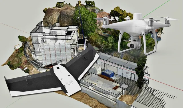
In the mid-nineteenth century, with the design of the first aerostats, it became possible to add a new piece to the evolutionary path of photogrammetry: aerial photogrammetry. Thanks to the experiment of the Frenchman Gaspard-Félix Tournachon (known as Nadar), it became possible to detect certain features of the terrain that are hard to perceive at ground level. The technique soon spread to archaeology, as well as to military and architectural uses, but it suffered from very high costs. From the hot-air balloon, in the twentieth century we moved to ever lighter helicopters, until reaching, in recent years, the frontier of Remotely Piloted Aircraft.
The latter have made all operations much more precise and fast, but above all they have had a decisive impact on costs (just think of the savings on fuel, pilot costs and rental). This has also allowed small technical offices of engineers and surveyors to access these tools with only small investments, increasing their competitiveness.
If the shift from analog to lightweight digital cameras brought greater affordability and speed, we must also bear in mind how important the move to infrared and 3D technology has been, allowing photogrammetry to be used in fields not previously reached.
Although there are still aspects to implement and improve, such as everything concerning the synchronization of the camera with the navigation sensors, stirr-up and perspective distortions, the possibilities opening up for the world of construction, archaeology, pollution detection, monitoring of vegetation in certain at-risk areas, and hydrographic surveying are endless.
Are you a surveyor? Write to us to learn more or, conversely, to give us further ideas and tell us about your experience.
Selected by our staff based on the topic of the article. Not sure which one to choose? Ask us for advice.



We help you choose the drone, sensors and software based on the job to be done, with training and after-sales support. We usually reply within one business day.
Ever since the first quadcopters on the market used only a GoPro as a payload to shoot video, without relying on a proper system of...
· 3 min read
The development of specialized software applications has made it possible to tackle and solve complex problems concerning the automation and optimization of many...
· 3 min read
For those outside the industry, the term “drone” covers all types of latest-generation flying machines, with no real distinction between...
· 3 min read
🍪 Cookies on AerialClick
We use technical cookies, which are necessary for the site (cart, login). With your consent we also use marketing cookies (Meta) to measure campaigns and show you relevant ads. You can change your mind at any time from "Cookie preferences" at the bottom of the page. Cookie policy