
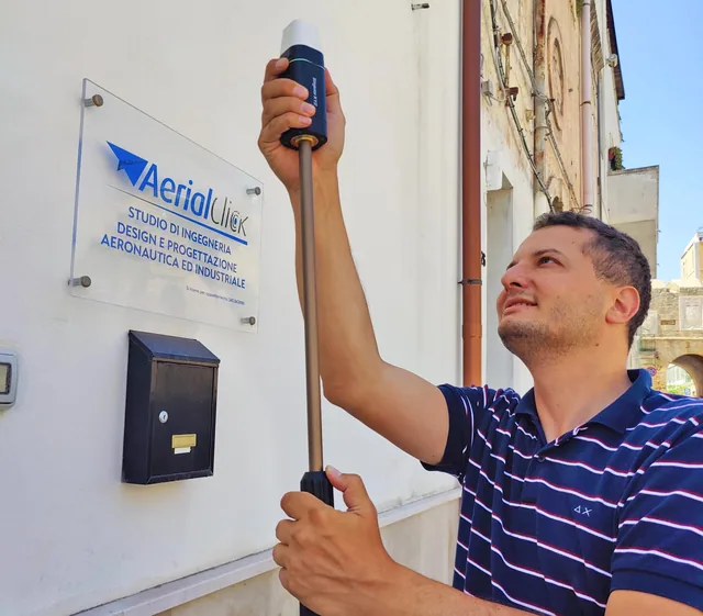
Here's why the construction industry needs SAPR pilots
We have already written several times about the reasons why quadcopters and the operators able to use them legally are gradually becoming indispensable...
· 1 min read
AerialClick blog and guides
Drone topographic surveys, orthophotos, 3D models, laser scanners and processing software.
We have already written several times about the reasons why quadcopters and the operators able to use them legally are gradually becoming indispensable...
· 1 min read
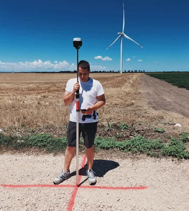
Here is how new technologies will help us reduce time, costs and errors. Mapping an area is not a simple task.
· 2 min read
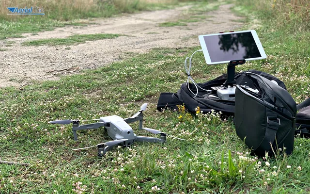
From the rainforest to Italian woodlands, drones are saving the environment. It was 2011, and the two scientists Lian Pin Koh, an American ecologist, and Serge Wich, a biologist...
· 3 min read
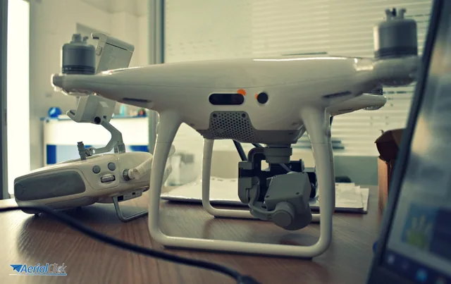
A few years ago, mapping a more or less large area was extremely complex. It required hours and hours of presence on the construction site (even in the presence of...
· 2 min read
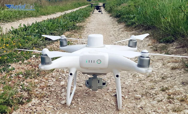
A technique born to evolve continuously. Photogrammetry, that is the acquisition of the shape and position (also called metric data) of an object, be it a...
· 3 min read

Dronics and land mapping: the points where economists, engineers, lawyers and surveyors meet and clash.
· 4 min read
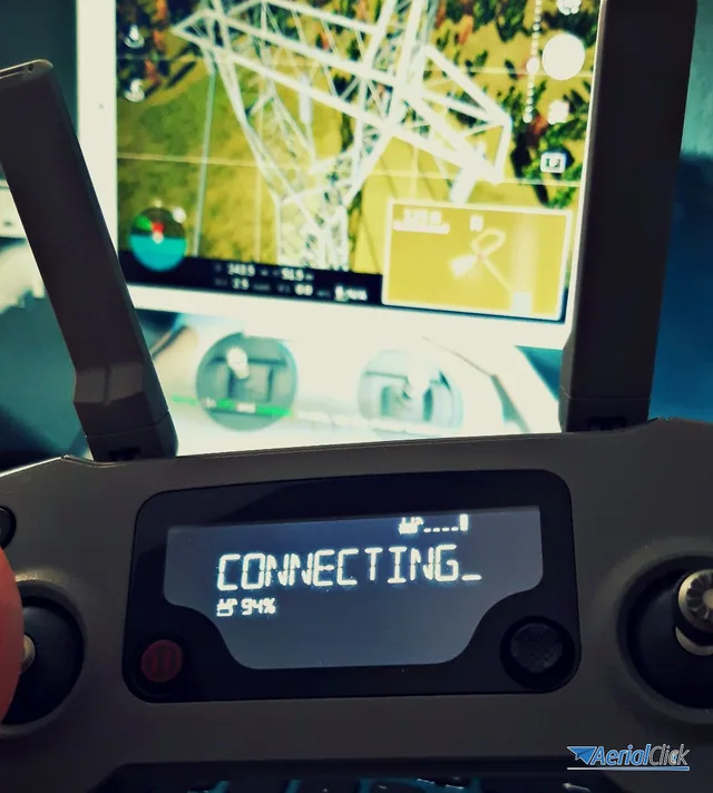
A global-scale mapping to set the scene for cutting-edge Role Play games. You know the latest-generation video games, grouped under the...
· 2 min read
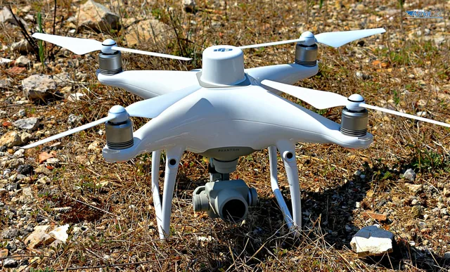
As already mentioned in previous articles, drones lend themselves to a whole range of uses and are therefore a cross-cutting tool for a great many professions.
· 3 min read
🍪 Cookies on AerialClick
We use technical cookies, which are necessary for the site (cart, login). With your consent we also use marketing cookies (Meta) to measure campaigns and show you relevant ads. You can change your mind at any time from "Cookie preferences" at the bottom of the page. Cookie policy